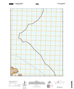
2020 Map of False Pass D-4 SE
USGS Topo · Published 2020About this map
Unimak Island and its southwestern reaches form the geographic heart of this coastal survey. Located within the Aleutian Islands chain, the map details the rugged intersection of land and sea where the Ikatan Peninsula extends toward the vast Pacific Ocean. This 2020 edition provides a modern topographic record of the island's coastal profile, showing the sparse but distinct landforms that define this remote part of the Aleutians East Borough. The survey focuses primarily on the maritime environment and the uninhabited stretches of the island, serving as a critical reference for the complex topography of the peninsula.
Find a feature on this map
9 named features on this map. Tap any name to fly to it.
Don’t see what you’re looking for? This feature index may not catch every label — zoom into the map to look around manually.
Map Details
Editions of this 2020 False Pass D-4 SE Map
This is the sole edition of this map. No revisions or reprints were ever made.
Other maps of this area
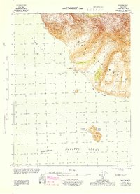
1944 · Cold Bay Sheet No. 20 of 25
USGS Topo · 1:25,000

1949 · False Pass
USGS Topo · 1:250,000

1950 · False Pass
USGS Topo · 1:250,000
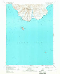
1963 · False Pass D-3
USGS Topo · 1:63,360
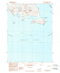
1989 · False Pass C-4
USGS Topo · 1:63,360
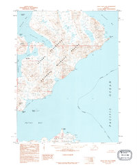
1995 · False Pass D-4
USGS Topo · 1:63,360

2020 · False Pass C-3 NW
USGS Topo · 1:25,000
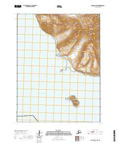
2020 · False Pass D-3 NW
USGS Topo · 1:25,000
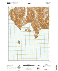
2020 · False Pass C-4 NW
USGS Topo · 1:25,000
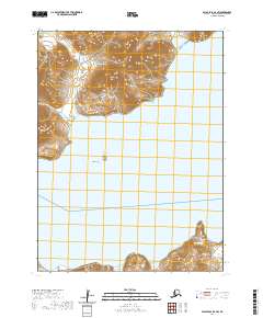
2020 · False Pass D-4 SW
USGS Topo · 1:25,000