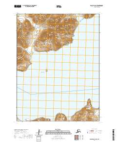
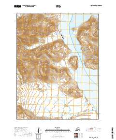
2020 Map of False Pass D-4 SW
USGS Topo · Published 2020About this map
Ikatan sits on the northern edge of Unimak Island at the threshold of the Aleutian Islands. This 2020 topographic survey illustrates the maritime connection between the mainland and the island chain, separated by the waters of Ikatan Bay. The landscape is defined by its dramatic coastal features, including the Palisade Cliffs on the Alaska Peninsula and the remote Sankin Island within Sankin Bay.
Find a feature on this map
18 named features on this map. Tap any name to fly to it.
Don’t see what you’re looking for? This feature index may not catch every label — zoom into the map to look around manually.
Map Details
Editions of this 2020 False Pass D-4 SW Map
This is the sole edition of this map. No revisions or reprints were ever made.
Other maps of this area

1949 · False Pass
USGS Topo · 1:250,000

1950 · False Pass
USGS Topo · 1:250,000
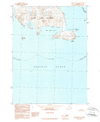
1989 · False Pass C-4
USGS Topo · 1:63,360
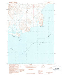
1989 · False Pass C-5
USGS Topo · 1:63,360
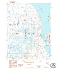
1995 · False Pass D-5
USGS Topo · 1:63,360
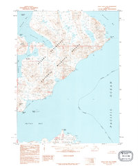
1995 · False Pass D-4
USGS Topo · 1:63,360
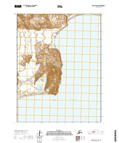
2020 · False Pass C-5 NE
USGS Topo · 1:25,000
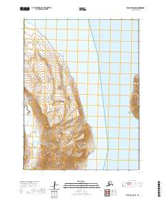
2020 · False Pass D-5 NE
USGS Topo · 1:25,000
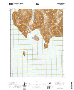
2020 · False Pass C-4 NW
USGS Topo · 1:25,000
2020 · False Pass D-5 SE
USGS Topo · 1:25,000