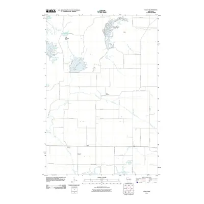
2010 Map of Falun
USGS Topo · Published 2010About this map
Falun and Alpha anchor the southern portion of this Burnett County landscape, where the Wood River winds through a terrain shaped by managed waterways and glacial remnants. The northwestern corner is dominated by the South Refuge Flowage and Upper Phantom Flowage, critical wetland habitats maintained by the Crex Meadows Dam and Reed Lake. This network of dikes, including Main Dike Rd and N Fork Dike Rd, illustrates the complex water management system essential to the local ecology.
Find a feature on this map
49 named features on this map. Tap any name to fly to it.
Don’t see what you’re looking for? This feature index may not catch every label — zoom into the map to look around manually.
Map Details
Editions of this 2010 Falun Map
This is the sole edition of this map. No revisions or reprints were ever made.
Other maps of this area

1950 · Webster
USGS Topo · 1:48,000

1950 · Grantsburg
USGS Topo · 1:48,000

1951 · Milltown
USGS Topo · 1:48,000

1951 · Frederic
USGS Topo · 1:48,000

1953 · Stillwater
USGS Topo · 1:250,000

1955 · Webster
USGS Topo · 1:62,500

1955 · Frederic
USGS Topo · 1:62,500

1955 · Milltown
USGS Topo · 1:62,500

1955 · Stillwater
USGS Topo · 1:250,000

1958 · Stillwater
USGS Topo · 1:250,000