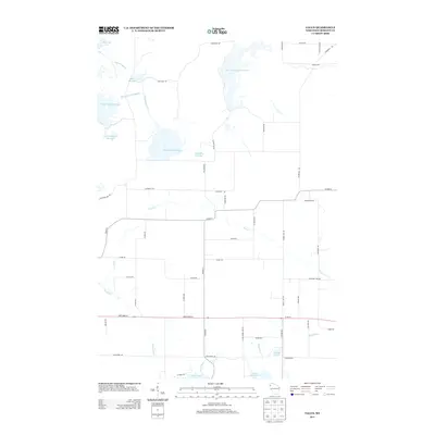
2013 Map of Falun
USGS Topo · Published 2013About this map
Wood River and its accompanying wetlands dominate this Burnett County landscape, characterized by an extensive system of water management features and glacial lakes. The northern reach is defined by a complex network of flowages, including North Fork Flowage, Upper North Fork Flowage, and South Refuge Flowage, managed through structures like Main Dike Rd and the Phantom Lake Bypass. These controlled waterways suggest a landscape heavily influenced by conservation or wildlife refuge priorities, where natural drainage is supplemented by the Pumphouse Ditch.
Find a feature on this map
51 named features on this map. Tap any name to fly to it.
Don’t see what you’re looking for? This feature index may not catch every label — zoom into the map to look around manually.
Map Details
Editions of this 2013 Falun Map
This is the sole edition of this map. No revisions or reprints were ever made.
Other maps of this area
1950 · Webster
USGS Topo · 1:48,000
1950 · Grantsburg
USGS Topo · 1:48,000
1951 · Milltown
USGS Topo · 1:48,000

1951 · Frederic
USGS Topo · 1:48,000

1953 · Stillwater
USGS Topo · 1:250,000
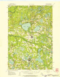
1955 · Webster
USGS Topo · 1:62,500
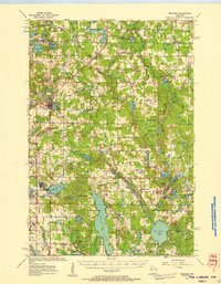
1955 · Frederic
USGS Topo · 1:62,500
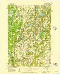
1955 · Milltown
USGS Topo · 1:62,500

1955 · Stillwater
USGS Topo · 1:250,000

1958 · Stillwater
USGS Topo · 1:250,000