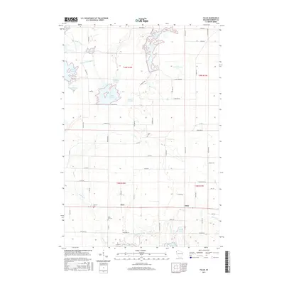
2015 Map of Falun
USGS Topo · Published 2015About this map
The Wood River drainage network dominates this portion of Burnett County, where a sophisticated system of flowages and bypasses manages the local hydrology. This 2015 survey details the small communities of Alpha and Falun, positioned south of a series of man-made water features including the N Fork Flowage and Upper N Fork Flowage. The landscape is a complex arrangement of wetlands and controlled water bodies like the Phantom Lake Bypass and S Refuge Flowage, illustrating the area's modern water management infrastructure.
Find a feature on this map
66 named features on this map. Tap any name to fly to it.
Don’t see what you’re looking for? This feature index may not catch every label — zoom into the map to look around manually.
Map Details
Editions of this 2015 Falun Map
This is the sole edition of this map. No revisions or reprints were ever made.
Other maps of this area

1950 · Webster
USGS Topo · 1:48,000

1950 · Grantsburg
USGS Topo · 1:48,000

1951 · Milltown
USGS Topo · 1:48,000

1951 · Frederic
USGS Topo · 1:48,000

1953 · Stillwater
USGS Topo · 1:250,000

1955 · Webster
USGS Topo · 1:62,500

1955 · Frederic
USGS Topo · 1:62,500

1955 · Milltown
USGS Topo · 1:62,500

1955 · Stillwater
USGS Topo · 1:250,000

1958 · Stillwater
USGS Topo · 1:250,000