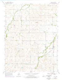
1955 Map of Falun
USGS Topo · Published 1978About this map
Falun sits at the intersection of a small rail network and the winding path of the West Fork Smoky Hill River, serving as a central point for this Saline County landscape. The mid-20th-century geography is defined by the significant footprint of the Smoky Hill Air Force Base Bombing Range, which dominates the northern and western sections of the map. This military presence contrasts with the rural character of the southern hills, where several prominent topographic features rise above the creeks, including Soldier Cap Mound, Weston Hill, and Potato Hill.
Find a feature on this map
16 named features on this map. Tap any name to fly to it.
Don’t see what you’re looking for? This feature index may not catch every label — zoom into the map to look around manually.
Map Details
Editions of this 1955 Falun Map
3 editions found
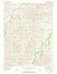
Other maps of this area

1892 · Salina
USGS Topo · 1:125,000

1942 · Salina
USGS Topo · 1:125,000

1955 · Salina SW
USGS Topo · 1:24,000

1955 · Smolan
USGS Topo · 1:24,000

1955 · Brookville
USGS Topo · 1:24,000

1955 · Falun
USGS Topo · 1:24,000

1955 · Hutchinson
USGS Topo · 1:250,000

1957 · Brookville SW
USGS Topo · 1:24,000
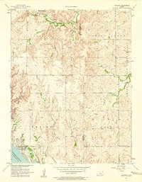
1957 · Venango
USGS Topo · 1:24,000

1959 · Hutchinson
USGS Topo · 1:250,000