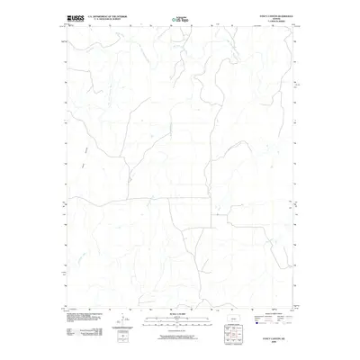
2009 Map of Fancy Canyon
USGS Topo · Published 2009About this map
Fancy Canyon defines the western edge of this Comanche County landscape, where the high plains of southern Kansas are carved by a network of drainage systems. The Salt Fork Arkansas River winds across the northern portion of the quadrangle, joined by tributaries including Wildcat Creek and Indian Creek. The terrain is characterized by these intermittent watercourses, such as Red Fork Creek, which cut through the open country. This area represents a transition in the Kansas watershed, where local creeks like Cave Creek and Jug Motte Creek move toward the larger river systems that eventually feed into the Arkansas basin. The absence of major settlements emphasizes the rural, undeveloped character of the region during this period of the early twenty-first century.
Find a feature on this map
7 named features on this map. Tap any name to fly to it.
Don’t see what you’re looking for? This feature index may not catch every label — zoom into the map to look around manually.
Map Details
Editions of this 2009 Fancy Canyon Map
This is the sole edition of this map. No revisions or reprints were ever made.
Other maps of this area

1891 · Medicine Lodge
USGS Topo · 1:125,000

1892 · Coldwater
USGS Topo · 1:125,000

1893 · Medicine Lodge
USGS Topo · 1:125,000

1955 · Woodward
USGS Topo · 1:250,000

1955 · Pratt
USGS Topo · 1:250,000

1958 · Woodward
USGS Topo · 1:250,000

1959 · Pratt
USGS Topo · 1:250,000

1969 · Tegarden NW
USGS Topo · 1:24,000

1970 · Freedom NE
USGS Topo · 1:24,000

1970 · Freedom NW
USGS Topo · 1:24,000