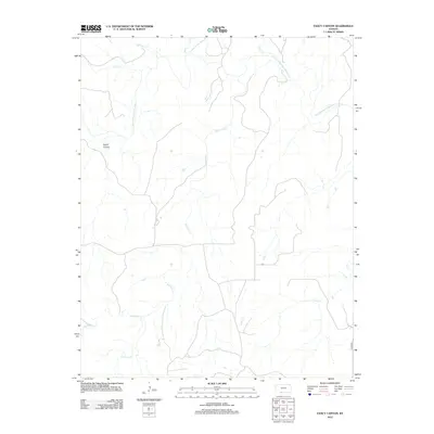
2012 Map of Fancy Canyon
USGS Topo · Published 2012About this map
Fancy Canyon and the surrounding rangeland of southern Kansas are defined by an intricate network of drainages feeding into the Salt Fork Arkansas River. This 2012 survey reveals a landscape primarily shaped by water, where Red Fork Cr and Jug Motte Cr wind through the terrain, illustrating the hydrologic patterns of the region. The map shows a high degree of isolation, with only limited infrastructure such as the road labeled Hackberry appearing in the southeastern corner. The convergence of numerous smaller streams like Wildcat Cr, Cave Cr, and Dog Cr emphasizes the area's role as a watershed for the Salt Fork, with very little modern development encroaching on these natural corridors.
Find a feature on this map
10 named features on this map. Tap any name to fly to it.
Don’t see what you’re looking for? This feature index may not catch every label — zoom into the map to look around manually.
Map Details
Editions of this 2012 Fancy Canyon Map
This is the sole edition of this map. No revisions or reprints were ever made.
Other maps of this area

1891 · Medicine Lodge
USGS Topo · 1:125,000

1892 · Coldwater
USGS Topo · 1:125,000

1893 · Medicine Lodge
USGS Topo · 1:125,000

1955 · Woodward
USGS Topo · 1:250,000

1955 · Pratt
USGS Topo · 1:250,000

1958 · Woodward
USGS Topo · 1:250,000

1959 · Pratt
USGS Topo · 1:250,000

1969 · Tegarden NW
USGS Topo · 1:24,000

1970 · Freedom NE
USGS Topo · 1:24,000

1970 · Freedom NW
USGS Topo · 1:24,000