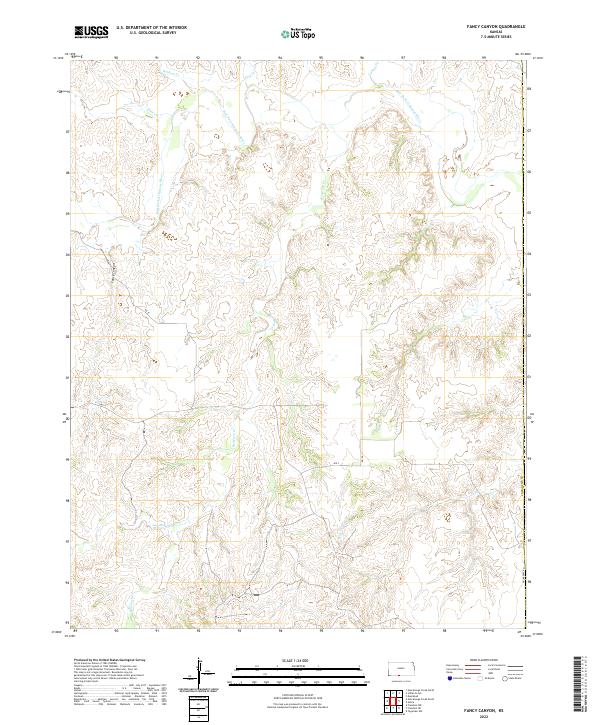
2022 Map of Fancy Canyon
USGS Topo · Published 2022About this map
Fancy Canyon and the intricate drainage of the Salt Fork Arkansas River define this portion of Comanche County. The landscape is characterized by a dense network of intermittent streams, including Wildcat Creek, Dog Creek, and Indian Creek, which carve through the terrain before joining the larger river system. This modern mapping reflects the persistent rural character of the region, where land is primarily organized by the Public Land Survey System as seen in the prominent township and range boundaries like t34s r16w.
Find a feature on this map
23 named features on this map. Tap any name to fly to it.
Don’t see what you’re looking for? This feature index may not catch every label — zoom into the map to look around manually.
Map Details
Editions of this 2022 Fancy Canyon Map
This is the sole edition of this map. No revisions or reprints were ever made.
Other maps of this area

1891 · Medicine Lodge
USGS Topo · 1:125,000

1892 · Coldwater
USGS Topo · 1:125,000

1893 · Medicine Lodge
USGS Topo · 1:125,000

1955 · Woodward
USGS Topo · 1:250,000

1955 · Pratt
USGS Topo · 1:250,000

1958 · Woodward
USGS Topo · 1:250,000

1959 · Pratt
USGS Topo · 1:250,000

1969 · Tegarden NW
USGS Topo · 1:24,000

1970 · Freedom NE
USGS Topo · 1:24,000

1970 · Freedom NW
USGS Topo · 1:24,000