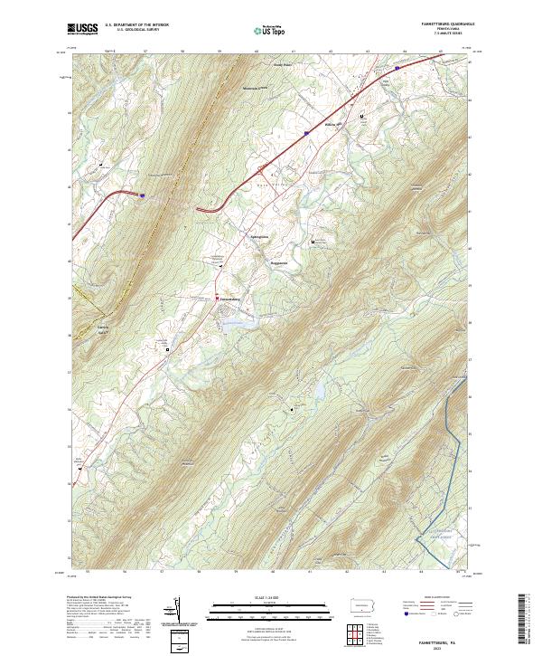
2023 Map of Fannettsburg
USGS Topo · Published 2023About this map
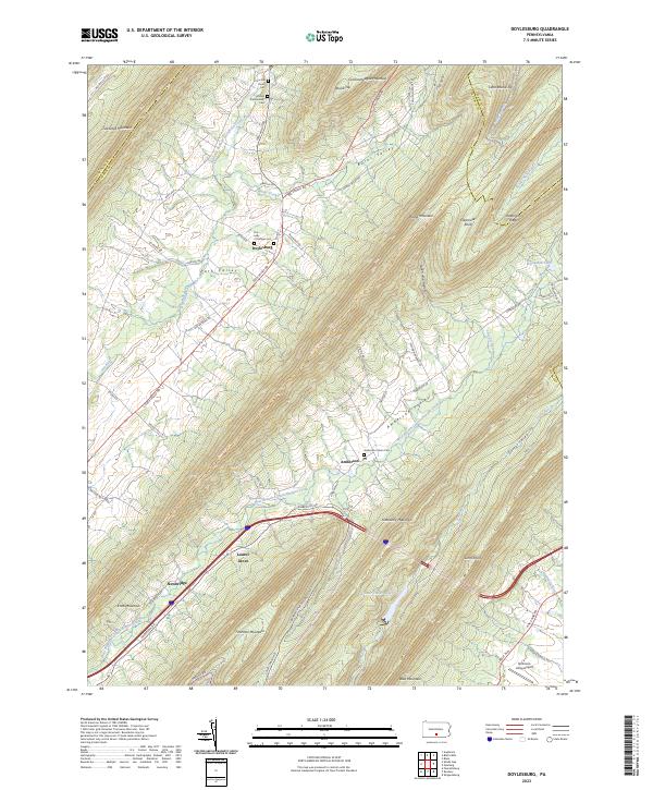
Fannettsburg and the surrounding valley floor serve as the focal point for this 2023 survey of Franklin County, where the agricultural landscape is constrained by the prominent ridges of Tuscarora Mountain and Kittatinny Mountain. The mapping reveals a high density of ancestral burial sites, including the Fannettsburg Reformed Church Cem, the Shetler Family Cem, and the Evert Farm Family Cem, suggesting a long history of family-held farmsteads and rural congregations.
Find a feature on this map
102 named features on this map. Tap any name to fly to it.
Don’t see what you’re looking for? This feature index may not catch every label — zoom into the map to look around manually.
Map Details
Editions of this 2023 Fannettsburg Map
This is the sole edition of this map. No revisions or reprints were ever made.
Historical Maps of Freestone Through Time
15 maps found

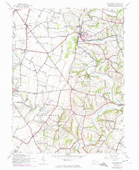
1944 Mc Connellsburg
Franklin County, PA
1944 St Thomas
Franklin County, PA
1944 Williamson
Franklin County, PA
1966 Doylesburg
Franklin County, PA
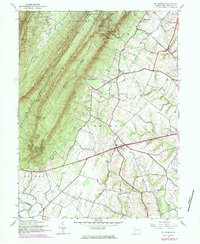
1966 Fannettsburg
Franklin County, PA
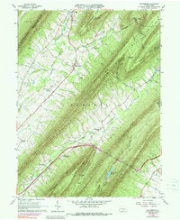
1966 Roxbury
Franklin County, PA

1990 Mc Connellsburg
Franklin County, PA

1990 St Thomas
Franklin County, PA
1990 Williamson
Franklin County, PA
2023 Doylesburg
Franklin County, PA
2023 Fannettsburg
Franklin County, PA
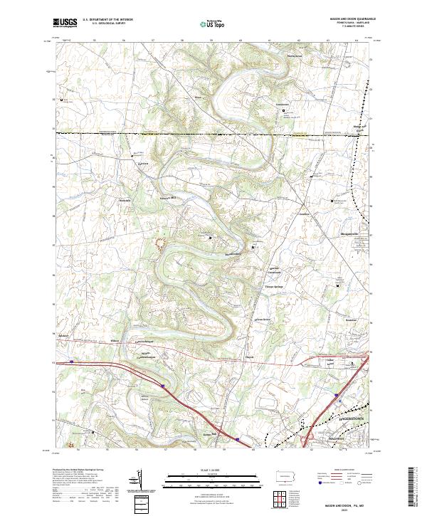
2023 Mason and Dixon
Franklin County, PA
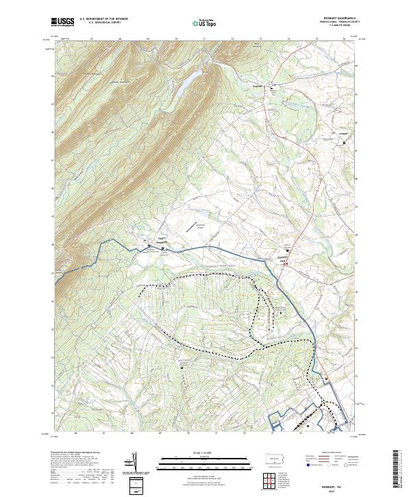
2023 Roxbury
Franklin County, PA
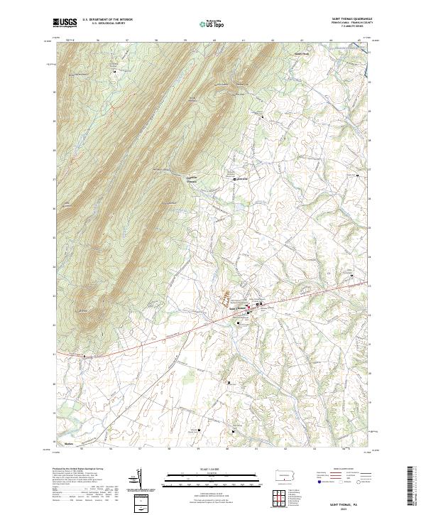
2023 Saint Thomas
Franklin County, PA
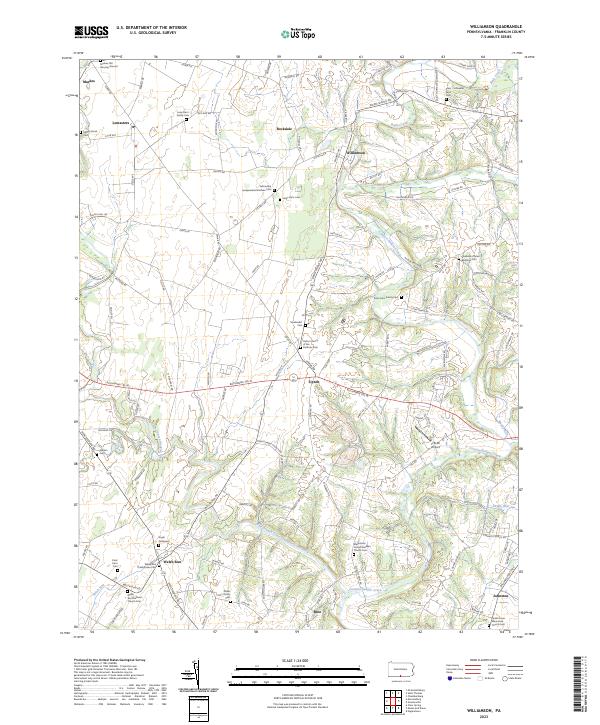
2023 Williamson
Franklin County, PA
Featured Locations
- Fannett Township, PA
- Hamilton Township, PA
- Letterkenny Township, PA
- Metal Township, PA
- St. Thomas Township, PA