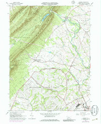
1966 Map of Roxbury
USGS Topo · Published 1986About this map
Letterkenny Army Depot dominates the southern landscape of this 1960s quadrangle, defined by an extensive network of the U.S. Government Railroad serving the military installation. The terrain is dramatically split between the high ridges of Kittatinny Mountain and Blue Mountain to the northwest and the fertile valley of the Conodoguinet Creek to the southeast. Local life is anchored in small crossroads settlements such as Upper Strasburg, where the Emmanuel Ch and Township Sch stand as community markers. The map captures the area just as the Letterkenny Reservoir was established along Trout Run, showing a transition from traditional rural agriculture to modern military logistics and recreation, evidenced by nearby Benders Park and Camp Johnson.
Find a feature on this map
41 named features on this map. Tap any name to fly to it.
Don’t see what you’re looking for? This feature index may not catch every label — zoom into the map to look around manually.
Map Details
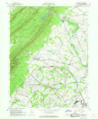
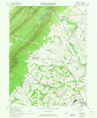
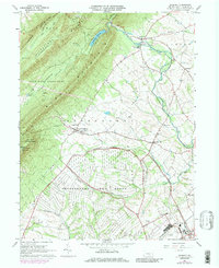
Editions of this 1966 Roxbury Map
4 editions found
Other maps of this area

1900 · Mercersburg
USGS Topo · 1:62,500

1902 · Chambersburg
USGS Topo · 1:62,500

1902 · Mercersburg
USGS Topo · 1:62,500

1923 · Shippensburg
USGS Topo · 1:62,500

1939 · Orbisonia
USGS Topo · 1:62,500

1940 · Orbisonia
USGS Topo · 1:62,500

1942 · Hagerstown
USGS Topo · 1:125,000

1943 · Hagerstown
USGS Topo · 1:125,000

1943 · Chambersburg
USGS Topo · 1:62,500

1943 · Mercersburg
USGS Topo · 1:62,500
Featured Places
- Lurgan Township, PA
- Metal Township, PA
- Letterkenny Township, PA
- Greene Township, PA
- Southampton Township, PA