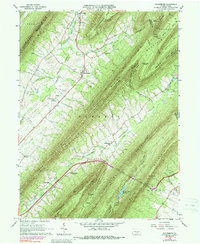
1966 Map of Doylesburg
USGS Topo · Published 1988About this map
Tuscarora Mountain and Blue Mountain dominate this landscape, defining the parallel ridges and valleys of south-central Pennsylvania. The mid-1960s settlement pattern is concentrated in the limestone-rich lowlands of Amberson Valley and Path Valley, where small communities like Doylesburg and Amberson serve as local hubs. These valleys show a deeply rooted rural infrastructure with family-scale landmarks like St Marys Ch and United Cem appearing alongside long-established routes.
Find a feature on this map
57 named features on this map. Tap any name to fly to it.
Don’t see what you’re looking for? This feature index may not catch every label — zoom into the map to look around manually.
Map Details
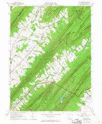
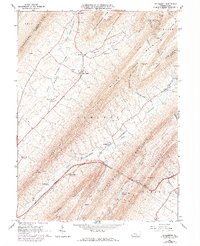
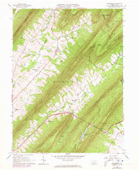
Editions of this 1966 Doylesburg Map
4 editions found
Other maps of this area

1919 · Mattawana
USGS Topo · 1:62,500

1922 · Mt Union
USGS Topo · 1:48,000

1923 · Shippensburg
USGS Topo · 1:62,500

1924 · Mt. Union
USGS Topo · 1:62,500

1936 · East Waterford
USGS Topo · 1:48,000

1939 · Orbisonia
USGS Topo · 1:62,500

1940 · Orbisonia
USGS Topo · 1:62,500

1941 · East Waterford
USGS Topo · 1:62,500

1943 · Shippensburg
USGS Topo · 1:62,500

1944 · Orbisonia
USGS Topo · 1:62,500
Featured Places
- Lurgan Township, PA
- Hopewell Township, PA
- Tell Township, PA
- Amberson Valley Estates, Fannett Township
- Amberson, Fannett Township