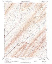
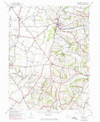
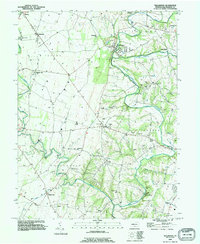
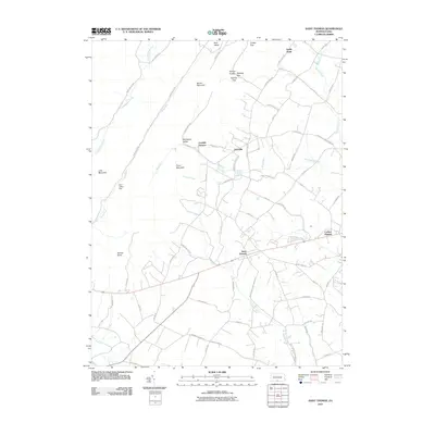
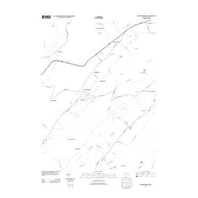
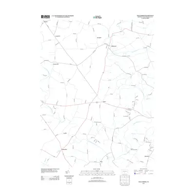
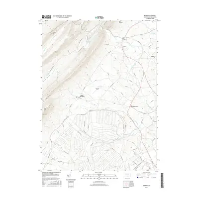
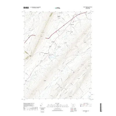
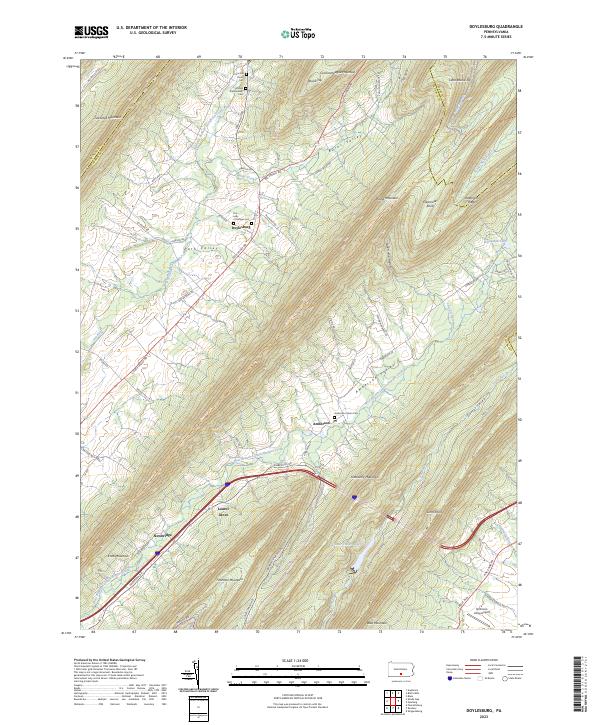
1966 Map of Doylesburg
USGS Topo · Published 1973About this map
Tuscarora Mountain and Kittatinny Mountain frame the parallel valleys of central Pennsylvania in this 1966 survey, later updated in 1973. The settlement pattern follows the narrow lowlands of Path Valley and Amberson Valley, where small communities like Doylesburg and Amberson are established near water sources like Conococheague Creek. Cultural landmarks including St Marys Ch and Burns Valley Ch reveal the localized nature of these mountain gap townships.
Find a feature on this map
53 named features on this map. Tap any name to fly to it.
Don’t see what you’re looking for? This feature index may not catch every label — zoom into the map to look around manually.
Map Details
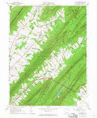
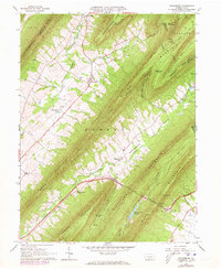
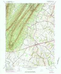
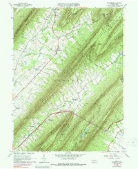
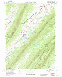
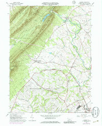
Editions of this 1966 Doylesburg Map
4 editions found
Historical Maps of Lurgan Township Through Time
39 maps found

1944 Mc Connellsburg
Franklin County, PA
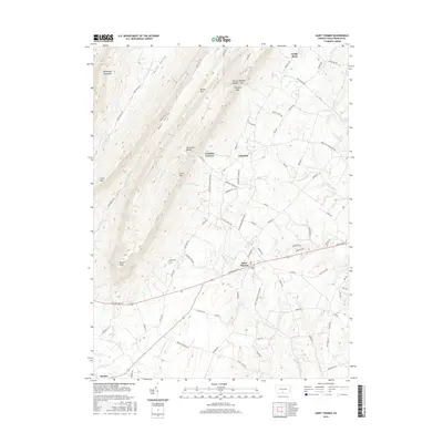
1944 St Thomas
Franklin County, PA
1944 Williamson
Franklin County, PA
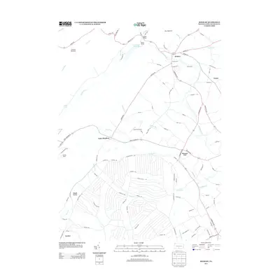
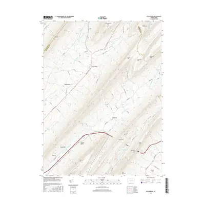
1966 Doylesburg
Franklin County, PA
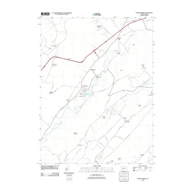
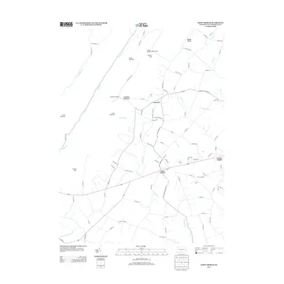
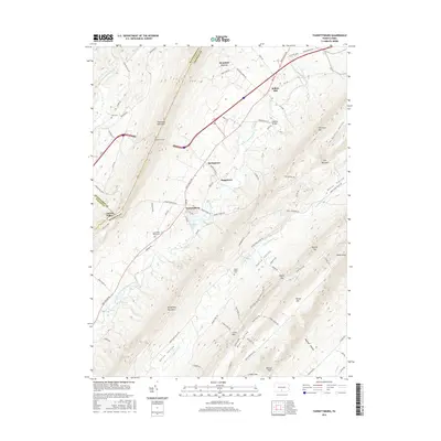
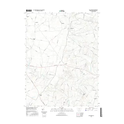
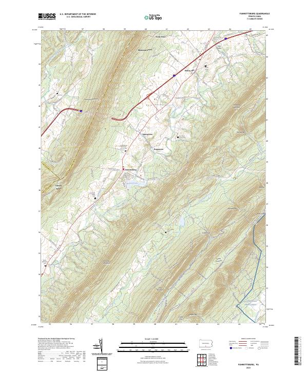
1966 Fannettsburg
Franklin County, PA
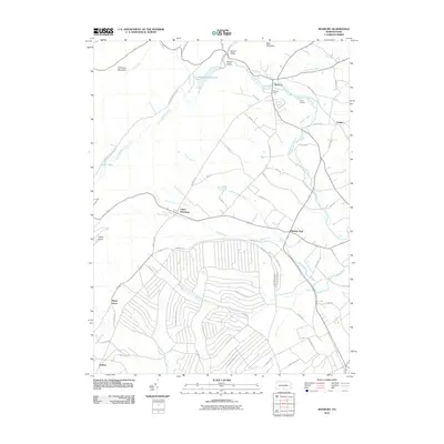
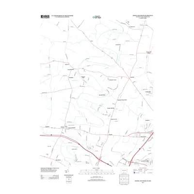
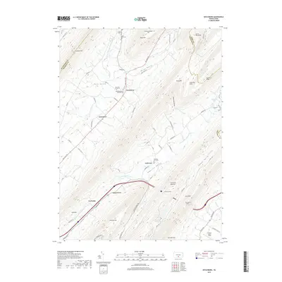
1966 Roxbury
Franklin County, PA

1990 Mc Connellsburg
Franklin County, PA

1990 St Thomas
Franklin County, PA
1990 Williamson
Franklin County, PA
2010 Doylesburg
Franklin County, PA
2010 Fannettsburg
Franklin County, PA
2010 Roxbury
Franklin County, PA
2010 Saint Thomas
Franklin County, PA
2010 Williamson
Franklin County, PA
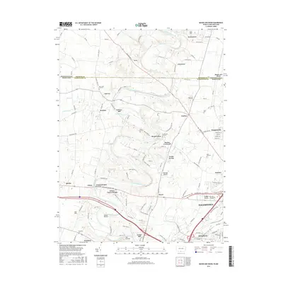
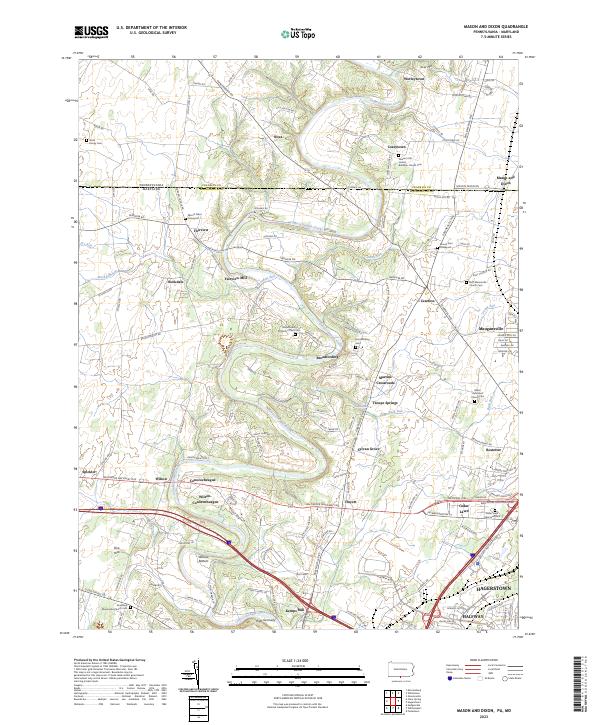
2011 Mason and Dixon
Franklin County, PA
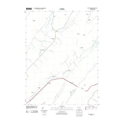
2013 Doylesburg
Franklin County, PA
2013 Fannettsburg
Franklin County, PA
2013 Mason and Dixon
Franklin County, PA
2013 Roxbury
Franklin County, PA
2013 Saint Thomas
Franklin County, PA
2013 Williamson
Franklin County, PA
2016 Doylesburg
Franklin County, PA
2016 Fannettsburg
Franklin County, PA
2016 Mason and Dixon
Franklin County, PA
2016 Roxbury
Franklin County, PA
2016 Saint Thomas
Franklin County, PA
2016 Williamson
Franklin County, PA
2019 Doylesburg
Franklin County, PA
2019 Fannettsburg
Franklin County, PA
2019 Mason and Dixon
Franklin County, PA
2019 Roxbury
Franklin County, PA
2019 Saint Thomas
Franklin County, PA
2019 Williamson
Franklin County, PA
2023 Doylesburg
Franklin County, PA
2023 Fannettsburg
Franklin County, PA
2023 Mason and Dixon
Franklin County, PA
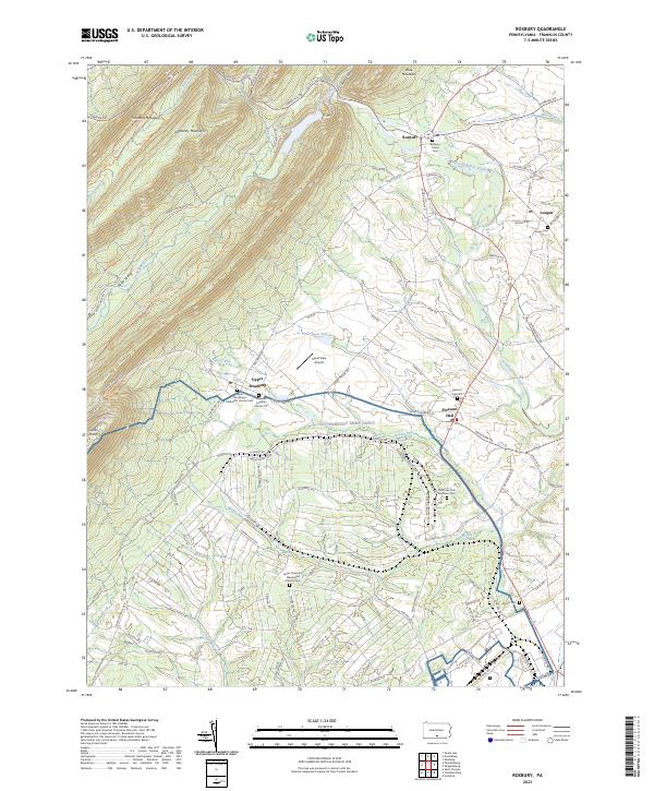
2023 Roxbury
Franklin County, PA
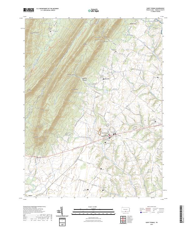
2023 Saint Thomas
Franklin County, PA
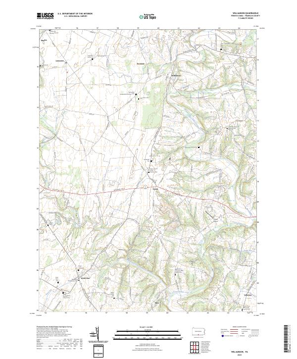
2023 Williamson
Franklin County, PA
Featured Locations
- Lurgan Township, PA
- Hopewell Township, PA
- Tell Township, PA
- Amberson, Fannett Township
- Amberson Valley Estates, Fannett Township