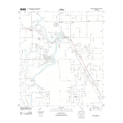
2012 Map of Fanning Springs
USGS Topo · Published 2012About this map
The Suwannee River carves a winding path through this region of Levy and Dixie counties, serving as the primary geographic anchor for riverside settlements like Old Town and Fanning Springs. This 2012 survey illustrates the transition from river-based landings to established road networks, with historical points like Clay Landing and Pine Landing along the western bank contrasted by the development of Wilcox Junction and Manatee Road to the east.
Find a feature on this map
187 named features on this map. Tap any name to fly to it.
Don’t see what you’re looking for? This feature index may not catch every label — zoom into the map to look around manually.
Map Details
Editions of this 2012 Fanning Springs Map
This is the sole edition of this map. No revisions or reprints were ever made.
Other maps of this area

1954 · Eugene
USGS Topo · 1:24,000

1954 · Cross City East
USGS Topo · 1:24,000

1954 · Chiefland
USGS Topo · 1:24,000

1954 · Manatee Springs
USGS Topo · 1:24,000

1954 · Vista
USGS Topo · 1:24,000

1954 · Gainesville
USGS Topo · 1:250,000

1958 · Gainesville
USGS Topo · 1:250,000

1959 · Gainesville
USGS Topo · 1:250,000

1968 · Fourmile Lake
USGS Topo · 1:24,000

1968 · Trenton
USGS Topo · 1:24,000