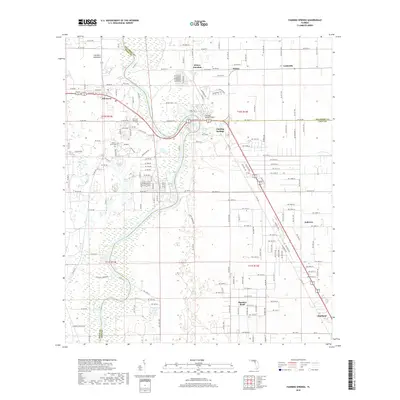
2018 Map of Fanning Springs
USGS Topo · Published 2018About this map
The Suwannee River carves through the landscape of this Florida study, serving as the primary boundary between Dixie, Gilchrist, and Levy counties. At its center, the community of Fanning Springs sits near the crossing where US Highway 19/98 spans the waterway, supported by the natural Bell Springs and the surrounding wetland environment. This area reflects a dense network of local roads and established communities that have grown around the river’s historical transit importance.
Find a feature on this map
190 named features on this map. Tap any name to fly to it.
Don’t see what you’re looking for? This feature index may not catch every label — zoom into the map to look around manually.
Map Details
Editions of this 2018 Fanning Springs Map
This is the sole edition of this map. No revisions or reprints were ever made.
Other maps of this area

1954 · Eugene
USGS Topo · 1:24,000

1954 · Cross City East
USGS Topo · 1:24,000

1954 · Chiefland
USGS Topo · 1:24,000

1954 · Manatee Springs
USGS Topo · 1:24,000

1954 · Vista
USGS Topo · 1:24,000

1954 · Gainesville
USGS Topo · 1:250,000

1958 · Gainesville
USGS Topo · 1:250,000

1959 · Gainesville
USGS Topo · 1:250,000

1968 · Fourmile Lake
USGS Topo · 1:24,000

1968 · Trenton
USGS Topo · 1:24,000