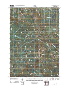
2011 Map of Fanno Ridge
USGS Topo · Published 2011About this map
Fanno Ridge dominates this portion of the Oregon Coast Range, serving as a significant drainage divide for several important water systems. The Luckiamute River and its tributary, the Little Luckiamute River, wind through the eastern and central slopes, while the headwaters of the South Fork Siletz River flow toward the west. This 2011 survey reveals a landscape primarily defined by its hydrology and topographic crests, including Bald Mountain and Middle Ridge.
Find a feature on this map
32 named features on this map. Tap any name to fly to it.
Don’t see what you’re looking for? This feature index may not catch every label — zoom into the map to look around manually.
Map Details
Editions of this 2011 Fanno Ridge Map
This is the sole edition of this map. No revisions or reprints were ever made.
Other maps of this area

1921 · Corvallis
USGS Topo · 1:62,500

1939 · Marys Peak
USGS Topo · 1:62,500

1942 · Marys Peak
USGS Topo · 1:62,500

1942 · Corvallis
USGS Topo · 1:62,500

1942 · Valsetz
USGS Topo · 1:62,500

1942 · Dallas
USGS Topo · 1:62,500

1953 · Salem
USGS Topo · 1:250,000

1954 · Salem
USGS Topo · 1:250,000
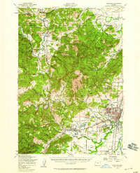
1956 · Corvallis
USGS Topo · 1:62,500

1956 · Valsetz
USGS Topo · 1:62,500