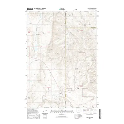
2015 Map of Fanny Peak
USGS Topo · Published 2015About this map
Black Hills National Forest land dominates this high-plains and mountain borderland, where the state line divides Weston County, Wyoming, from Pennington and Custer counties in South Dakota. The landscape is defined by an intricate network of drainage draws and canyons, including Redbird Canyon and Gillette Canyon, which cut through the uplifted terrain. Prominent elevations like Fanny Peak and Frannie Peak serve as significant local landmarks overlooking the drainages of Stockade Beaver Cr and Whoopup Cr.
Find a feature on this map
47 named features on this map. Tap any name to fly to it.
Don’t see what you’re looking for? This feature index may not catch every label — zoom into the map to look around manually.
Map Details
Editions of this 2015 Fanny Peak Map
This is the sole edition of this map. No revisions or reprints were ever made.
Other maps of this area

1896 · Harney Peak
USGS Topo · 1:125,000

1899 · Newcastle
USGS Topo · 1:125,000

1901 · Harney Peak
USGS Topo · 1:125,000

1901 · Newcastle
USGS Topo · 1:125,000

1951 · Owens
USGS Topo · 1:24,000

1951 · Newcastle
USGS Topo · 1:24,000

1951 · Fanny Peak
USGS Topo · 1:24,000

1951 · Clifton
USGS Topo · 1:24,000

1955 · Dead Horse Flats
USGS Topo · 1:24,000

1955 · Jewel Cave NW
USGS Topo · 1:24,000