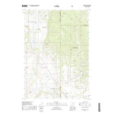
2017 Map of Fanny Peak
USGS Topo · Published 2017About this map
Black Hills National Forest dominates this landscape along the Wyoming and South Dakota border, where a complex network of draws and canyons defines the rugged topography. The terrain is marked by prominent elevations such as Fanny Peak and Frannie Peak, which overlook a series of vital water sources including Spencer Reservoir and Spencer Number 2 Reservoir. The presence of several named water points like Roby Spring, Pease Spring, and Side Camp Spring underscores the importance of reliable water in this arid environment. Roads such as Boles Canyon Rd and Mt Rushmore Rd provide passage through the steep drainages of Redbird Canyon and Gillette Canyon. This mapping captures a transitional zone of the Great Plains and the Black Hills, showing the intricate relationship between high ridges like Summit Ridge and the winding course of Stockade Beaver Cr.
Find a feature on this map
53 named features on this map. Tap any name to fly to it.
Don’t see what you’re looking for? This feature index may not catch every label — zoom into the map to look around manually.
Map Details
Editions of this 2017 Fanny Peak Map
This is the sole edition of this map. No revisions or reprints were ever made.
Other maps of this area

1896 · Harney Peak
USGS Topo · 1:125,000

1899 · Newcastle
USGS Topo · 1:125,000

1901 · Harney Peak
USGS Topo · 1:125,000

1901 · Newcastle
USGS Topo · 1:125,000

1951 · Owens
USGS Topo · 1:24,000

1951 · Newcastle
USGS Topo · 1:24,000

1951 · Fanny Peak
USGS Topo · 1:24,000

1951 · Clifton
USGS Topo · 1:24,000

1955 · Dead Horse Flats
USGS Topo · 1:24,000

1955 · Jewel Cave NW
USGS Topo · 1:24,000