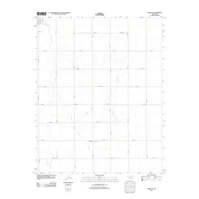
2012 Map of Fargo SE
USGS Topo · Published 2012About this map
Keenan sits near the southern edge of this Ellis County landscape, a small settlement defined by its grid of rural section roads. The terrain is deeply marked by the winding paths of Boggy Cr and Turkey Cr, which snake through the plains and dictate the local topography. This 2012 survey provides significant value for genealogists, as it clearly locates three distinct burial grounds: the Fargo Cem in the northwest, Gnadenfield Cem to the northeast, and the Keenan Cem near the town center. The northwestern corner of the map captures the edge of Fargo's residential streets, including Main St and Locust St, where the rural section roads like N1900 Rd transition into a traditional town layout.
Find a feature on this map
26 named features on this map. Tap any name to fly to it.
Don’t see what you’re looking for? This feature index may not catch every label — zoom into the map to look around manually.
Map Details
Editions of this 2012 Fargo SE Map
This is the sole edition of this map. No revisions or reprints were ever made.
Other maps of this area

1955 · Woodward
USGS Topo · 1:250,000

1958 · Woodward
USGS Topo · 1:250,000

1969 · Fargo SW
USGS Topo · 1:24,000

1969 · Fargo
USGS Topo · 1:24,000

1969 · Fargo NW
USGS Topo · 1:24,000

1969 · Vici NW
USGS Topo · 1:24,000

1969 · Woodward SW
USGS Topo · 1:24,000

1969 · Woodward
USGS Topo · 1:24,000

1969 · Fargo SE
USGS Topo · 1:24,000

1970 · Harmon
USGS Topo · 1:24,000