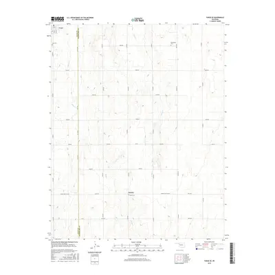
2016 Map of Fargo SE
USGS Topo · Published 2016About this map
Fargo and the small settlement of Keenan anchor this landscape along the border of Ellis and Woodward Counties. The terrain is defined by the drainages of Boggy Creek and Turkey Creek, which carve through the high plains. A rigid grid of section-line roads, such as Co Line Road and N 1900 Road, imposes a human geometry over the natural hydrology, reflecting the area's agricultural development.
Find a feature on this map
32 named features on this map. Tap any name to fly to it.
Don’t see what you’re looking for? This feature index may not catch every label — zoom into the map to look around manually.
Map Details
Editions of this 2016 Fargo SE Map
This is the sole edition of this map. No revisions or reprints were ever made.
Other maps of this area

1955 · Woodward
USGS Topo · 1:250,000

1958 · Woodward
USGS Topo · 1:250,000

1969 · Fargo SW
USGS Topo · 1:24,000

1969 · Fargo
USGS Topo · 1:24,000

1969 · Fargo NW
USGS Topo · 1:24,000

1969 · Vici NW
USGS Topo · 1:24,000

1969 · Woodward SW
USGS Topo · 1:24,000

1969 · Woodward
USGS Topo · 1:24,000

1969 · Fargo SE
USGS Topo · 1:24,000

1970 · Harmon
USGS Topo · 1:24,000