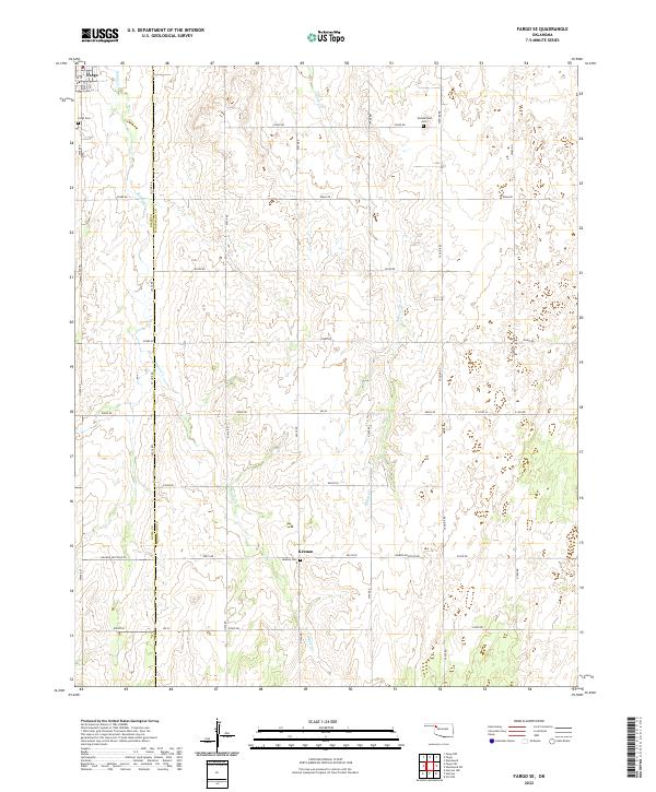
2022 Map of Fargo SE
USGS Topo · Published 2022About this map
Fargo and the small settlement of Keenan anchor this rural landscape in the Woodward and Ellis county borderlands. The terrain is defined by the drainage patterns of Boggy Cr and Turkey Cr, which flow through a network of section-line roads such as Tangier Rd and Sharon-Shattuck Rd. This agricultural region preserves several local landmarks vital for genealogical research, including the Gnadenfield Cem, Keenan Cem, and Fargo Cem located just outside the main townsite. The presence of a Po in Keenan indicates its role as a local service hub for the surrounding ranching and farming community. The map provides a detailed view of the township and range system, showing the precise survey lines of t22n r23w and neighboring tracts that dictated the settlement pattern of this part of Oklahoma.
Find a feature on this map
37 named features on this map. Tap any name to fly to it.
Don’t see what you’re looking for? This feature index may not catch every label — zoom into the map to look around manually.
Map Details
Editions of this 2022 Fargo SE Map
This is the sole edition of this map. No revisions or reprints were ever made.
Other maps of this area

1955 · Woodward
USGS Topo · 1:250,000

1958 · Woodward
USGS Topo · 1:250,000

1969 · Fargo SW
USGS Topo · 1:24,000

1969 · Fargo
USGS Topo · 1:24,000

1969 · Fargo NW
USGS Topo · 1:24,000

1969 · Vici NW
USGS Topo · 1:24,000

1969 · Woodward SW
USGS Topo · 1:24,000

1969 · Woodward
USGS Topo · 1:24,000

1969 · Fargo SE
USGS Topo · 1:24,000

1970 · Harmon
USGS Topo · 1:24,000