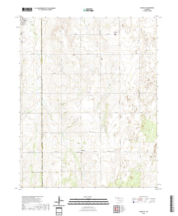
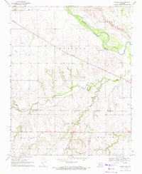
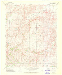
2022 Map of Fargo SE
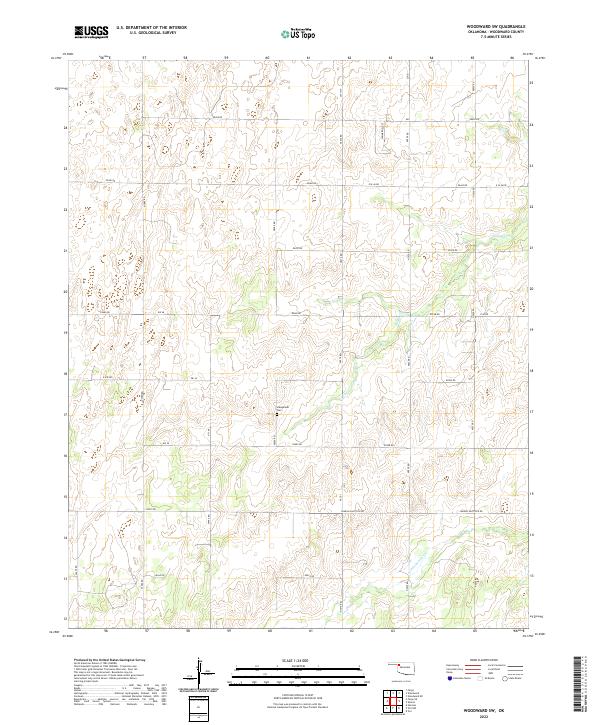
USGS Topo · Published 2022This historical map portrays the area of Fargo SE in 2022, primarily covering Woodward County as well as portions of Ellis County. Featuring a scale of 1:24000, this map provides a highly detailed snapshot of the terrain, roads, buildings, counties, and historical landmarks in the Fargo SE region at the time. Published in 2022, it is the sole known edition of this map.
Find a feature on this map
37 named features on this map. Tap any name to fly to it.
Don’t see what you’re looking for? This feature index may not catch every label — zoom into the map to look around manually.
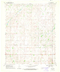
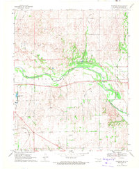
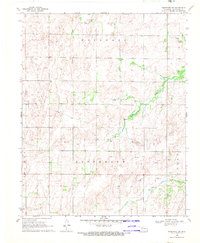
Map Details
Editions of this 2022 Fargo SE Map
This is the sole edition of this map. No revisions or reprints were ever made.
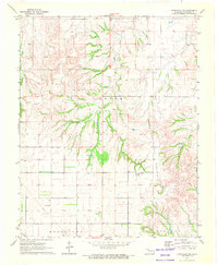
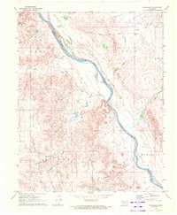
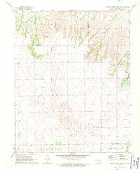
Historical Maps of Keenan Through Time
26 maps found
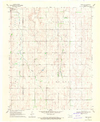
1969 Fargo SE
Woodward County, OK
1969 Mooreland SE
Woodward County, OK
1969 Mooreland SW
Woodward County, OK
1969 Mutual NE
Woodward County, OK
1969 Vici NW
Woodward County, OK
1969 Woodward NE
Woodward County, OK
1969 Woodward SW
Woodward County, OK

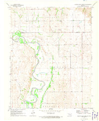
1970 Alabaster Caverns
Woodward County, OK
1970 Fairvalley SE
Woodward County, OK
1970 Fairvalley SW
Woodward County, OK
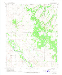
1970 Fairvalley
Woodward County, OK
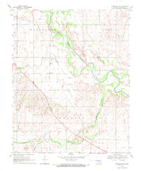
1970 Sleeping Bear Creek SE
Woodward County, OK
1970 Sleeping Bear Creek SW
Woodward County, OK
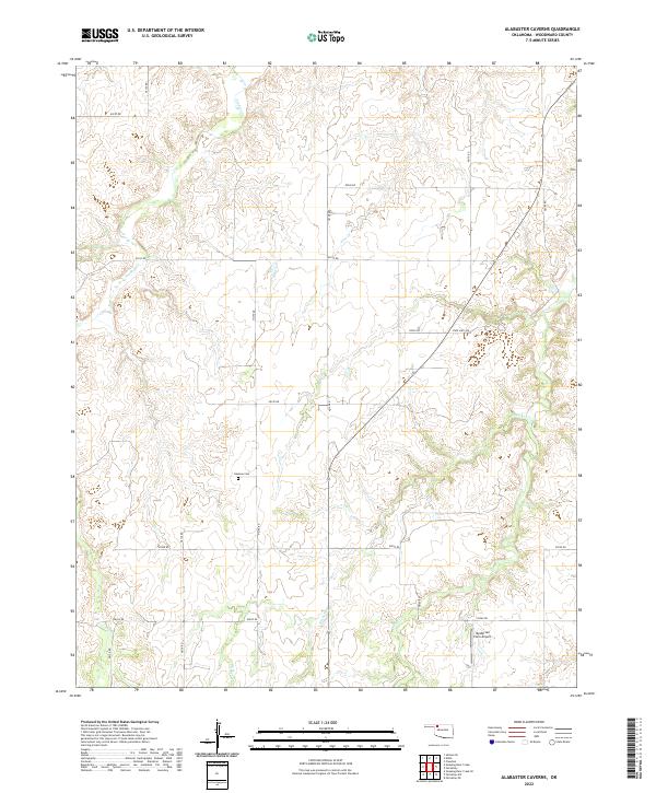
2022 Alabaster Caverns
Woodward County, OK
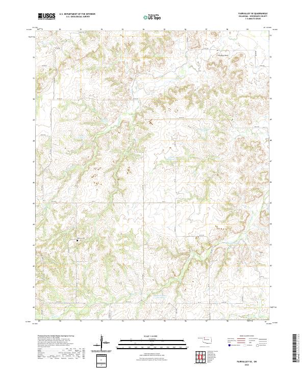
2022 Fairvalley SE
Woodward County, OK
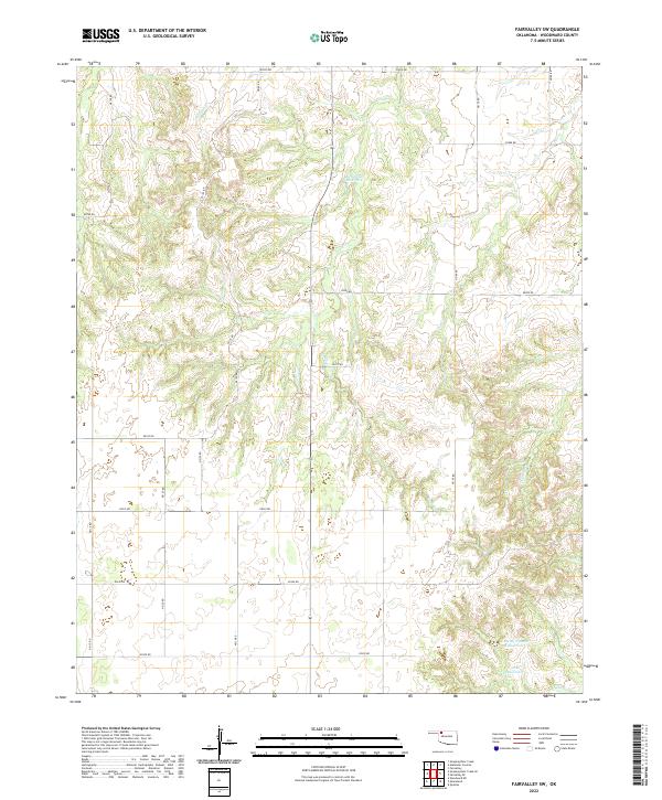
2022 Fairvalley SW
Woodward County, OK
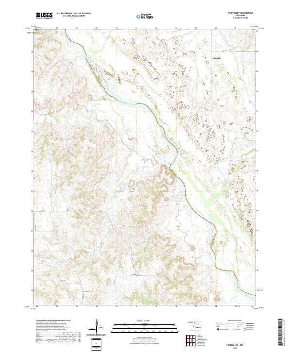
2022 Fairvalley
Woodward County, OK
2022 Fargo SE
Woodward County, OK
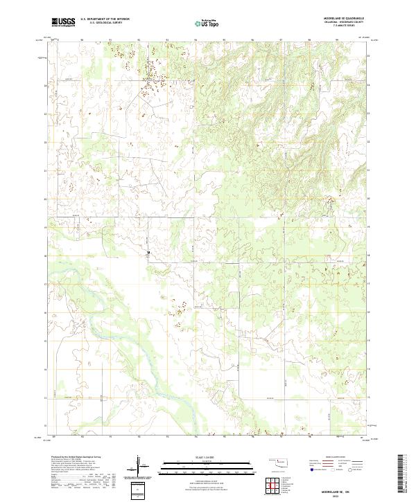
2022 Mooreland SE
Woodward County, OK
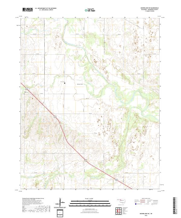
2022 Mooreland SW
Woodward County, OK
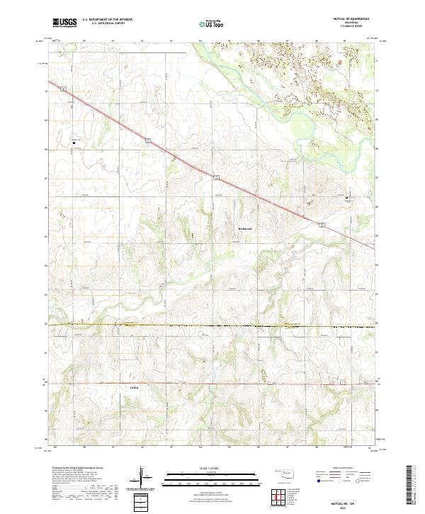
2022 Mutual NE
Woodward County, OK
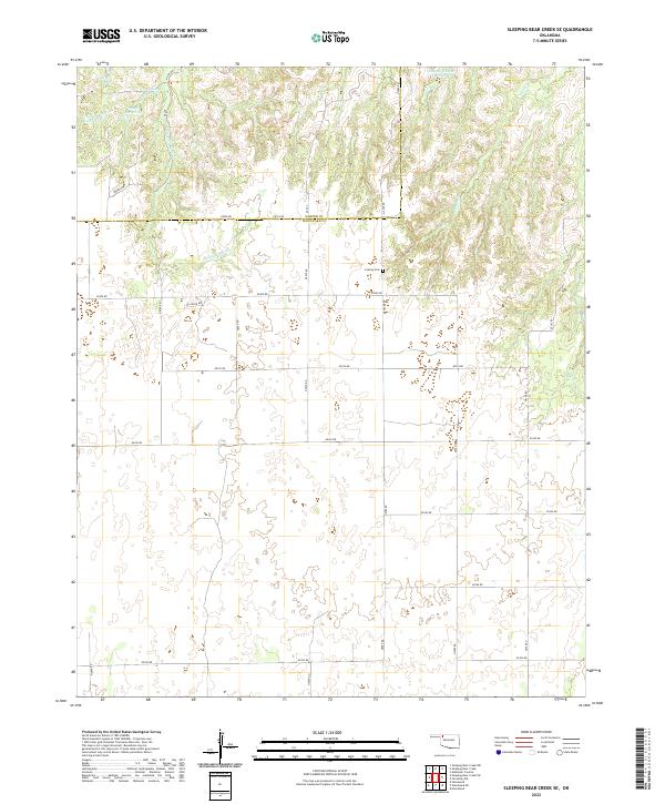
2022 Sleeping Bear Creek SE
Woodward County, OK
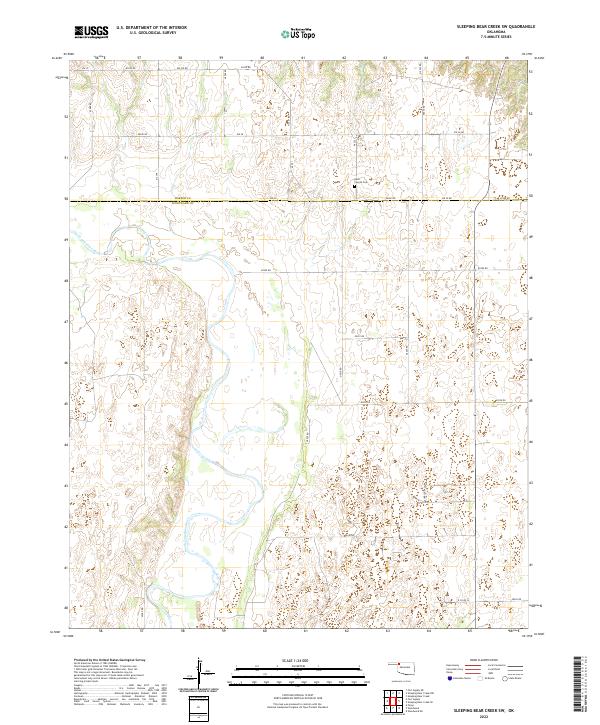
2022 Sleeping Bear Creek SW
Woodward County, OK
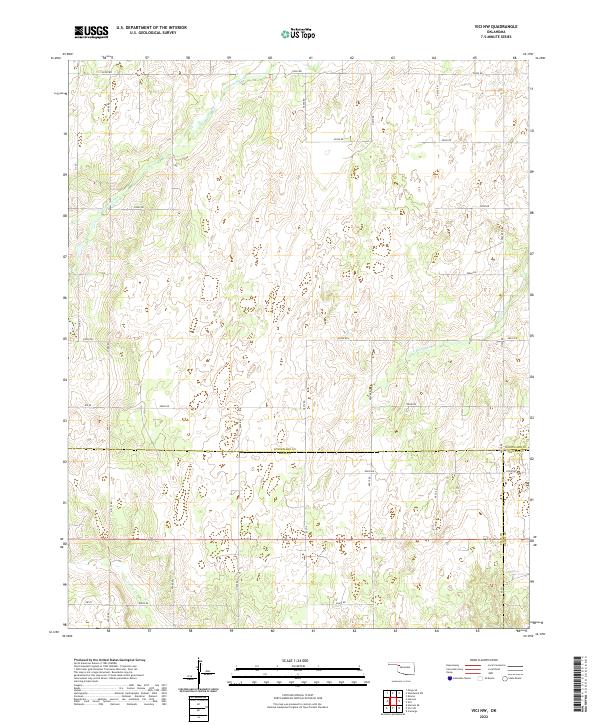
2022 Vici NW
Woodward County, OK
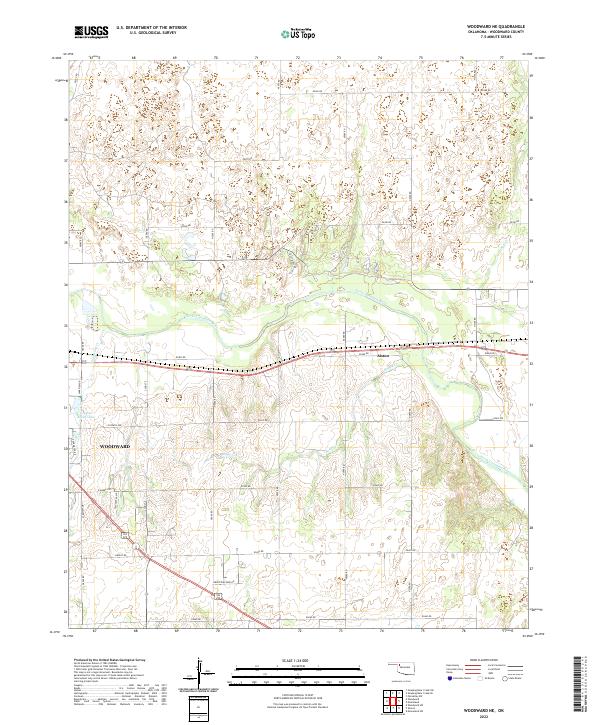
2022 Woodward NE
Woodward County, OK
2022 Woodward SW
Woodward County, OK