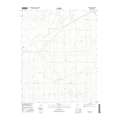
2016 Map of Fargo SW
USGS Topo · Published 2016About this map
Wolf Cr and its tributaries carve a winding path through this western Oklahoma landscape, defining the local topography between the settlements of Gage and Fargo. The 2016 survey illustrates a meticulously organized grid of section-line roads, such as Sharon-Shattuck Rd and N1850 Rd, which provide access to the expansive agricultural lands and scattered oil or gas leases. This road network is characteristic of the High Plains, where transportation is dictated by the geometry of the Public Land Survey System rather than the underlying terrain. Smaller waterways like Buzzard Cr, Twentytwo-Mile Cr, and Little Wolf Cr intersect this grid, creating localized variations in the landscape. The presence of Lease Rd reflects the importance of the energy industry to the regional economy, while the concentrated street names near Gage, including Pecan St, mark the edges of town development in Ellis County.
Find a feature on this map
27 named features on this map. Tap any name to fly to it.
Don’t see what you’re looking for? This feature index may not catch every label — zoom into the map to look around manually.
Map Details
Editions of this 2016 Fargo SW Map
This is the sole edition of this map. No revisions or reprints were ever made.
Other maps of this area

1955 · Woodward
USGS Topo · 1:250,000

1958 · Woodward
USGS Topo · 1:250,000

1969 · Fargo SW
USGS Topo · 1:24,000

1969 · Fargo
USGS Topo · 1:24,000

1969 · Fargo NW
USGS Topo · 1:24,000

1969 · Gage
USGS Topo · 1:24,000

1969 · Fargo SE
USGS Topo · 1:24,000

1969 · Shattuck NE
USGS Topo · 1:24,000

1970 · Arnett
USGS Topo · 1:24,000

1970 · Harmon
USGS Topo · 1:24,000