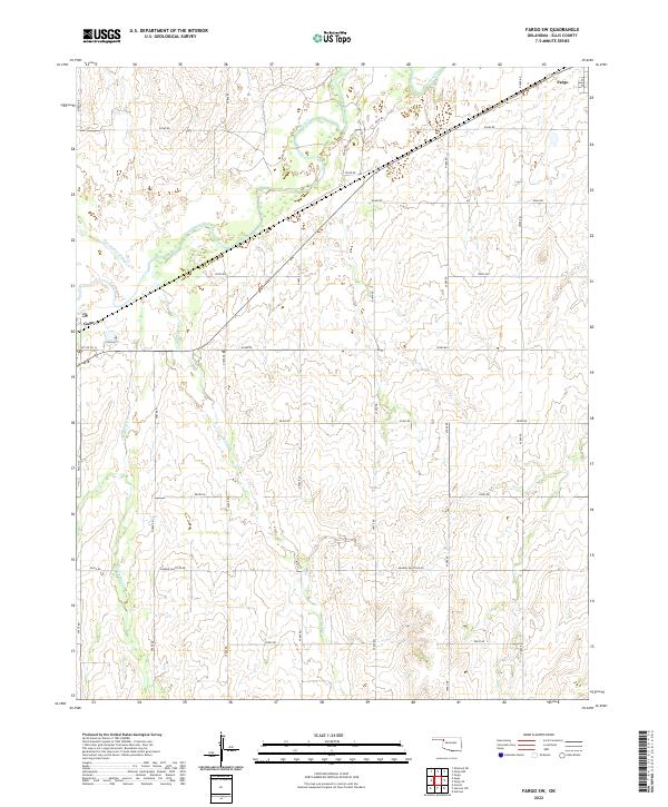
2022 Map of Fargo SW
USGS Topo · Published 2022About this map
The town of Fargo sits at the northeastern edge of this Ellis County landscape, connected to the nearby community of Gage by a network of sectional roads and rail lines. The terrain is defined by a dendritic drainage system where Wolf Cr and its tributaries, including Buzzard Cr, Twentyfive Mile Cr, and Little Wolf Cr, carve through the plains. The map reveals a highly structured grid of rural routes such as Sharon-Shattuck Rd and Svc Rd No 16, which provide access to the various sections of T22N and T21N. This layout reflects the enduring influence of the Public Land Survey System on the Oklahoma panhandle region, where long-established ranching and agricultural boundaries remain the primary geographic features. Small arterial ways like Lease Rd suggest the ongoing local industry and resource management that sustain these prairie settlements.
Find a feature on this map
32 named features on this map. Tap any name to fly to it.
Don’t see what you’re looking for? This feature index may not catch every label — zoom into the map to look around manually.
Map Details
Editions of this 2022 Fargo SW Map
This is the sole edition of this map. No revisions or reprints were ever made.
Other maps of this area

1955 · Woodward
USGS Topo · 1:250,000

1958 · Woodward
USGS Topo · 1:250,000

1969 · Fargo SW
USGS Topo · 1:24,000

1969 · Fargo
USGS Topo · 1:24,000

1969 · Fargo NW
USGS Topo · 1:24,000

1969 · Gage
USGS Topo · 1:24,000

1969 · Fargo SE
USGS Topo · 1:24,000

1969 · Shattuck NE
USGS Topo · 1:24,000

1970 · Arnett
USGS Topo · 1:24,000

1970 · Harmon
USGS Topo · 1:24,000