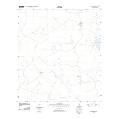
2010 Map of Farias Ranch
USGS Topo · Published 2010About this map
The Sullivan Ranch and its neighboring agricultural lands define this section of Maverick County in the early 21st century. The landscape is heavily marked by a network of ephemeral watercourses and localized water management systems, including Comanche Creek, San Ambrosia Creek, and Cuevas Creek. These intermittent streams are punctuated by man-made structures like the Winship Lake Number 3 Dam and Halsell Lake Number 3 Dam, illustrating the vital importance of water storage for ranching operations in this arid region of South Texas.
Find a feature on this map
10 named features on this map. Tap any name to fly to it.
Don’t see what you’re looking for? This feature index may not catch every label — zoom into the map to look around manually.
Map Details
Editions of this 2010 Farias Ranch Map
This is the sole edition of this map. No revisions or reprints were ever made.
Other maps of this area

1940 · Cometa
USGS Topo · 1:62,500

1940 · Eagle Pass
USGS Topo · 1:62,500

1941 · Botella Creek
USGS Topo · 1:62,500

1957 · Indio Creek
USGS Topo · 1:62,500

1957 · Botella Creek
USGS Topo · 1:62,500

1958 · Eagle Pass
USGS Topo · 1:250,000

1965 · Eagle Pass
USGS Topo · 1:250,000
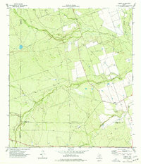
1974 · Cometa
USGS Topo · 1:24,000
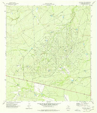
1974 · Sacatosa Tank
USGS Topo · 1:24,000
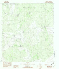
1982 · Indio Tank
USGS Topo · 1:24,000