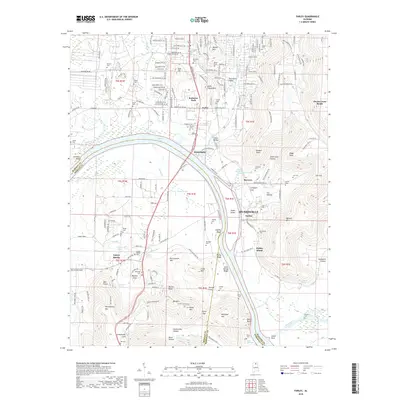
2018 Map of Farley
USGS Topo · Published 2018About this map
Wheeler Lake and the Tennessee River carve a winding path through the heart of this landscape, separating the southern edge of Huntsville from the hills of Morgan and Marshall counties. The settlement of Whitesburg sits at a historic crossing point, while the modern boundaries of Redstone Park reflect the area's contemporary institutional significance. To the south, the community of Laceys Spring is defined by a cluster of family-centered landmarks, including the Laceys Spring Cem and Lipscomb Cem, nestled near the base of McCutcheon Mtn.
Find a feature on this map
206 named features on this map. Tap any name to fly to it.
Don’t see what you’re looking for? This feature index may not catch every label — zoom into the map to look around manually.
Map Details
Editions of this 2018 Farley Map
This is the sole edition of this map. No revisions or reprints were ever made.
Other maps of this area

1885 · Gadsden
USGS Topo · 1:125,000

1888 · Cullman
USGS Topo · 1:125,000

1888 · Gadsden
USGS Topo · 1:125,000

1888 · Scottsboro
USGS Topo · 1:125,000

1888 · Huntsville
USGS Topo · 1:125,000

1892 · Cullman
USGS Topo · 1:125,000

1892 · Huntsville
USGS Topo · 1:125,000

1892 · Scottsboro
USGS Topo · 1:125,000

1892 · Gadsden
USGS Topo · 1:125,000

1895 · Gadsden
USGS Topo · 1:125,000