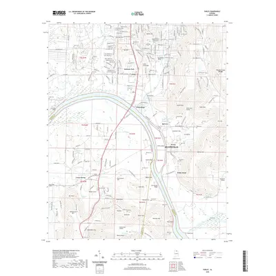
2020 Map of Farley
USGS Topo · Published 2020About this map
Whitesburg and the southern edge of Huntsville overlook the wide expanse of Wheeler Lake and the Flint River on this modern survey. The terrain is defined by the sharp rise of Mathis Mtn and Little Farley Mtn to the north, contrasted with the low-lying Hobbs Island and the complex sloughs of the river bottom, including Pond Slough and Hambrick Slough. The landscape transitions from suburban developments near Farley to the protected slopes of the Green Mountain Preserve.
Find a feature on this map
208 named features on this map. Tap any name to fly to it.
Don’t see what you’re looking for? This feature index may not catch every label — zoom into the map to look around manually.
Map Details
Editions of this 2020 Farley Map
This is the sole edition of this map. No revisions or reprints were ever made.
Other maps of this area

1885 · Gadsden
USGS Topo · 1:125,000

1888 · Cullman
USGS Topo · 1:125,000

1888 · Gadsden
USGS Topo · 1:125,000

1888 · Scottsboro
USGS Topo · 1:125,000

1888 · Huntsville
USGS Topo · 1:125,000

1892 · Cullman
USGS Topo · 1:125,000

1892 · Huntsville
USGS Topo · 1:125,000

1892 · Scottsboro
USGS Topo · 1:125,000

1892 · Gadsden
USGS Topo · 1:125,000

1895 · Gadsden
USGS Topo · 1:125,000