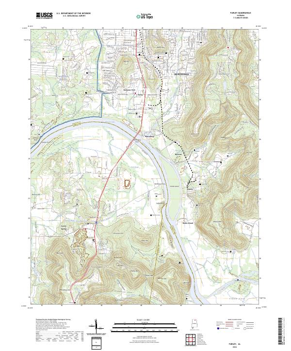
2024 Map of Farley
USGS Topo · Published 2024About this map
Redstone Arsenal dominates the northwestern corner of this landscape, where military infrastructure meets the natural expanse of the Wheeler National Wildlife Refuge. The Tennessee River serves as the primary geographic corridor, winding past Whitesburg and Hobbs Island. This modern survey records a complex interface between the expanding suburbs of Huntsville and a rural heritage marked by numerous family burial grounds, including the Lacey-Gem Cem, Burton Cem, and Walling Cem.
Find a feature on this map
215 named features on this map. Tap any name to fly to it.
Don’t see what you’re looking for? This feature index may not catch every label — zoom into the map to look around manually.
Map Details
Editions of this 2024 Farley Map
This is the sole edition of this map. No revisions or reprints were ever made.
Other maps of this area

1885 · Gadsden
USGS Topo · 1:125,000

1888 · Cullman
USGS Topo · 1:125,000

1888 · Gadsden
USGS Topo · 1:125,000

1888 · Scottsboro
USGS Topo · 1:125,000

1888 · Huntsville
USGS Topo · 1:125,000

1892 · Cullman
USGS Topo · 1:125,000

1892 · Huntsville
USGS Topo · 1:125,000

1892 · Scottsboro
USGS Topo · 1:125,000

1892 · Gadsden
USGS Topo · 1:125,000

1895 · Gadsden
USGS Topo · 1:125,000
Featured Places
- Huntsville, AL
- Owens Cross Roads, AL
- Hobbs Island, AL
- Regent Forest, Huntsville
- South Park Estates, Huntsville