
1973 Map of Farmer
USGS Topo · Published 1978About this map
The settlement of Farmer serves as the central point of this Hanson County landscape, situated where the Chicago and North Western rail line traverses the township boundaries of Edgerton and Jasper. The map documents a predominantly agrarian region defined by a grid of section roads and watercourses like Pierre Creek and Wolf Creek. To the north of the village, St Peter Cem and a nearby Radio Tower provide localized landmarks for those tracing family history or early township infrastructure.
Find a feature on this map
18 named features on this map. Tap any name to fly to it.
Don’t see what you’re looking for? This feature index may not catch every label — zoom into the map to look around manually.
Map Details
Editions of this 1973 Farmer Map
This is the sole edition of this map. No revisions or reprints were ever made.
Other maps of this area

1899 · Alexandria
USGS Topo · 1:125,000

1955 · Sioux Falls
USGS Topo · 1:250,000

1957 · Alexandria
USGS Topo · 1:24,000

1957 · Rockport Colony
USGS Topo · 1:24,000

1958 · Sioux Falls
USGS Topo · 1:250,000

1973 · Spencer SW
USGS Topo · 1:24,000

1973 · Ness Chain Lakes
USGS Topo · 1:24,000
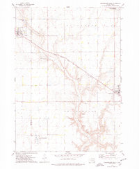
1973 · Bridgewater West
USGS Topo · 1:24,000

1973 · Canova SE
USGS Topo · 1:24,000
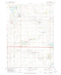
1973 · Spencer
USGS Topo · 1:24,000