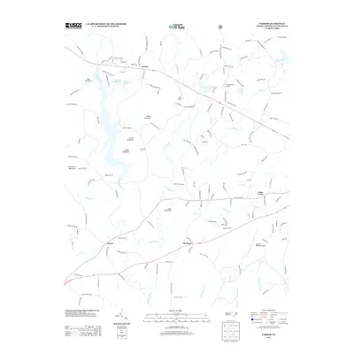
2013 Map of Farmer
USGS Topo · Published 2013About this map
The Uwharrie River winds through this central North Carolina landscape, serving as a primary drainage for a series of distinct peaks including Locust Mountain, Parker Mountain, and Ridges Mountain. In the early 21st century, the area remains defined by scattered rural settlements like Farmer and Mechanic, while the northern portion shows more contemporary development near Motleta. The landscape is a mix of wooded high ground and managed water bodies such as Woods Lake Number One and Asheboro County Club Lake.
Find a feature on this map
135 named features on this map. Tap any name to fly to it.
Don’t see what you’re looking for? This feature index may not catch every label — zoom into the map to look around manually.
Map Details
Editions of this 2013 Farmer Map
This is the sole edition of this map. No revisions or reprints were ever made.
Other maps of this area

1951 · Fair Grove
USGS Topo · 1:24,000

1953 · Raleigh
USGS Topo · 1:250,000

1953 · Charlotte
USGS Topo · 1:250,000

1954 · Charlotte
USGS Topo · 1:250,000

1954 · Raleigh
USGS Topo · 1:250,000

1957 · Denton
USGS Topo · 1:62,500

1957 · Asheboro
USGS Topo · 1:62,500

1960 · Charlotte
USGS Topo · 1:250,000

1962 · Charlotte
USGS Topo · 1:250,000

1970 · Randleman
USGS Topo · 1:24,000