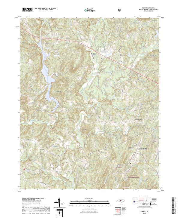
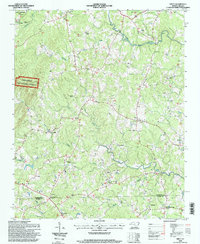
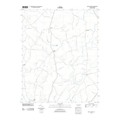
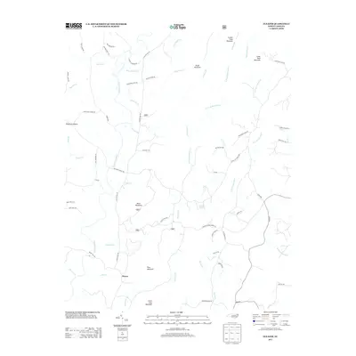
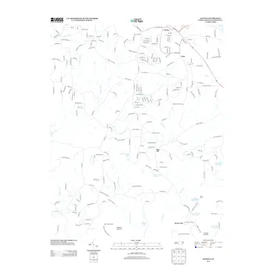
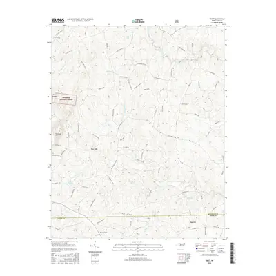
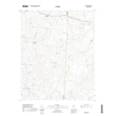
2022 Map of Farmer
USGS Topo · Published 2022About this map
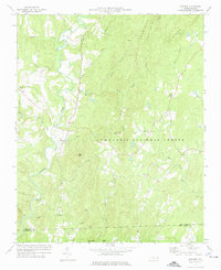
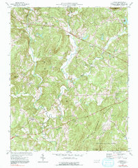
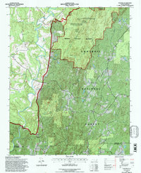
The Uwharrie River and its numerous tributaries, including Caraway Creek and Jackson Creek, carve a complex landscape of wooded ridges and small valleys in this portion of Randolph County. Local elevations are defined by prominent peaks such as Rush Mtn, Lowe Mtn, and Coolers Knob Mtn, while the southeastern corner of the quadrangle is protected within the Uwharrie National Forest. This terrain has historically dictated a dispersed settlement pattern, with small communities like Farmer and Mechanic serving as local focal points along an intricate network of country roads.
Find a feature on this map
129 named features on this map. Tap any name to fly to it.
Don’t see what you’re looking for? This feature index may not catch every label — zoom into the map to look around manually.
Map Details
Editions of this 2022 Farmer Map
This is the sole edition of this map. No revisions or reprints were ever made.
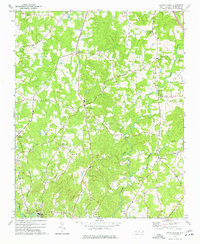
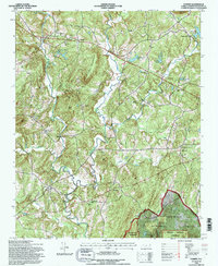
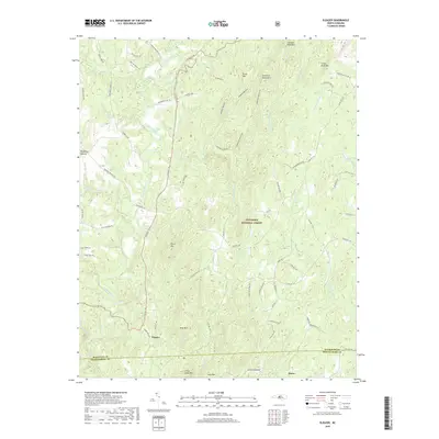
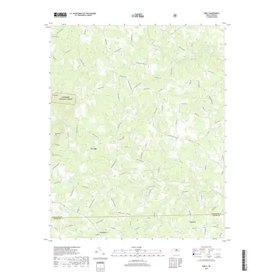
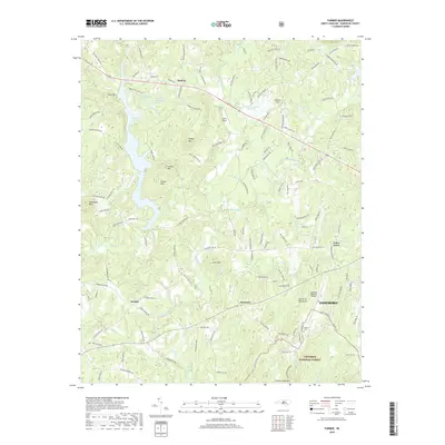
Historical Maps of Asheboro Through Time
39 maps found
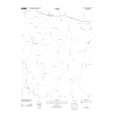
1968 Coleridge
Randolph County, NC
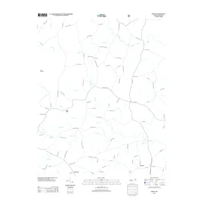
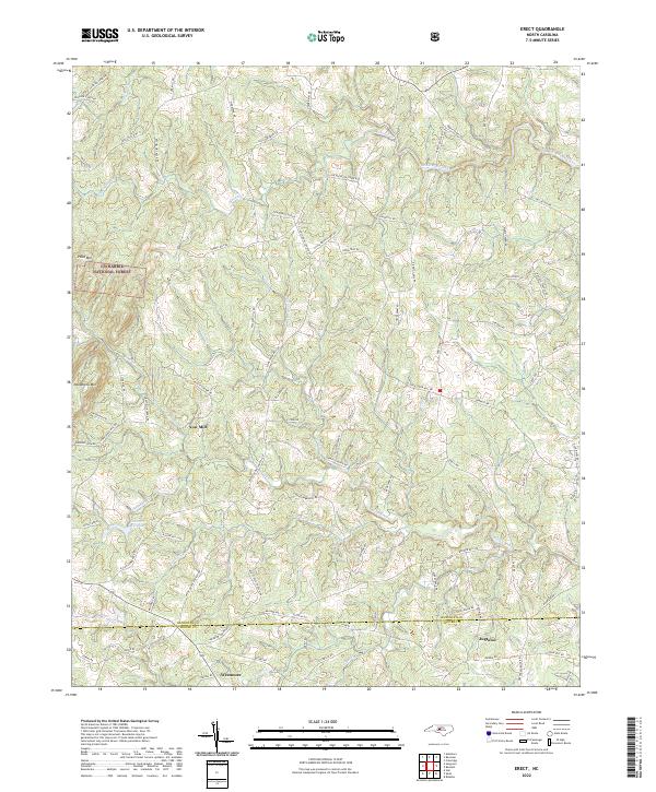
1968 Erect
Randolph County, NC
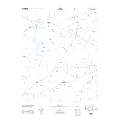
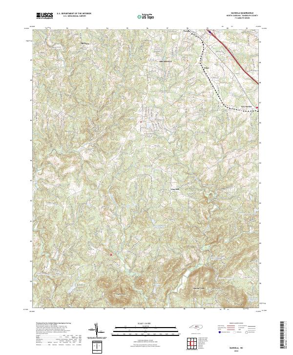
1970 Glenola
Randolph County, NC
1973 Eleazer
Randolph County, NC
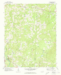
1974 Farmer
Randolph County, NC
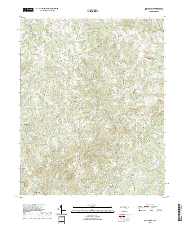
1974 Grays Chapel
Randolph County, NC
1994 Eleazer
Randolph County, NC
1994 Erect
Randolph County, NC
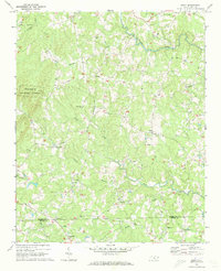
1994 Farmer
Randolph County, NC
2010 Coleridge
Randolph County, NC
2010 Glenola
Randolph County, NC
2010 Grays Chapel
Randolph County, NC
2011 Eleazer
Randolph County, NC
2011 Erect
Randolph County, NC
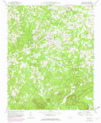
2011 Farmer
Randolph County, NC
2013 Coleridge
Randolph County, NC
2013 Eleazer
Randolph County, NC
2013 Erect
Randolph County, NC
2013 Farmer
Randolph County, NC
2013 Glenola
Randolph County, NC
2013 Grays Chapel
Randolph County, NC
2016 Coleridge
Randolph County, NC
2016 Eleazer
Randolph County, NC
2016 Erect
Randolph County, NC
2016 Farmer
Randolph County, NC
2016 Glenola
Randolph County, NC
2016 Grays Chapel
Randolph County, NC
2019 Coleridge
Randolph County, NC
2019 Eleazer
Randolph County, NC
2019 Erect
Randolph County, NC
2019 Farmer
Randolph County, NC
2019 Glenola
Randolph County, NC
2019 Grays Chapel
Randolph County, NC
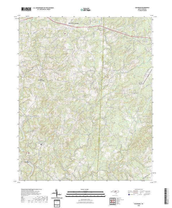
2022 Coleridge
Randolph County, NC
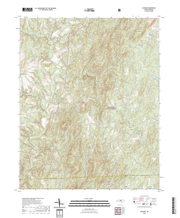
2022 Eleazer
Randolph County, NC
2022 Erect
Randolph County, NC
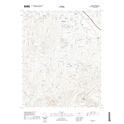
2022 Farmer
Randolph County, NC
2022 Glenola
Randolph County, NC
2022 Grays Chapel
Randolph County, NC