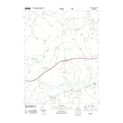
2011 Map of Farmers
USGS Topo · Published 2011About this map
The Licking River winds through this section of eastern Kentucky, carving a series of distinct bends including Ingram Bend, Muleshoe Bend, and Horseshoe Bend. The landscape is a mix of lowland river plains and upland peaks such as Sugarloaf Mountain and Smoky Knob. Significant genealogical data is preserved here through dozens of family burial grounds, including the Woodford Black Cemetery and Johnson Black Cemetery, reflecting the area's diverse heritage. Settlements like Farmers, Midland, and Hilda serve as local hubs, while modern infrastructure is represented by the Morehead-Rowan County Airport in the south. The historical importance of river crossings is highlighted by the label for Moores Ferry near the western edge. This map documents a transition in the local economy, where traditional river-valley farming and older landmarks like Spring Grove Lakes exist alongside newer developments like the Eagle Trace Golf Course.
Find a feature on this map
110 named features on this map. Tap any name to fly to it.
Don’t see what you’re looking for? This feature index may not catch every label — zoom into the map to look around manually.
Map Details
Editions of this 2011 Farmers Map
This is the sole edition of this map. No revisions or reprints were ever made.
Other maps of this area

1929 · Morehead
USGS Topo · 1:48,000

1929 · Salt Lick
USGS Topo · 1:62,500

1934 · Salt Lick
USGS Topo · 1:62,500

1935 · Morehead
USGS Topo · 1:62,500

1951 · Cranston
USGS Topo · 1:24,000

1951 · Hillsboro
USGS Topo · 1:24,000

1951 · Plummers Landing
USGS Topo · 1:24,000

1953 · Olympia
USGS Topo · 1:24,000

1953 · Farmers
USGS Topo · 1:24,000

1953 · Bangor
USGS Topo · 1:24,000