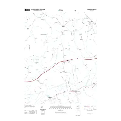
2013 Map of Farmers
USGS Topo · Published 2013About this map
The Licking River carves a dramatic path through this eastern Kentucky landscape, forming the sharp oxbows of Muleshoe Bend and Horseshoe Bend as it flows past Moores Ferry. This area, situated between the communities of Farmers and Sharkey, is characterized by a dense concentration of family and community burial grounds, including the Woodford Black Cem and Ingram-Stevens Cem. Such features offer significant data for genealogists tracing the legacy of Bath and Rowan counties.
Find a feature on this map
158 named features on this map. Tap any name to fly to it.
Don’t see what you’re looking for? This feature index may not catch every label — zoom into the map to look around manually.
Map Details
Editions of this 2013 Farmers Map
This is the sole edition of this map. No revisions or reprints were ever made.
Other maps of this area

1929 · Morehead
USGS Topo · 1:48,000

1929 · Salt Lick
USGS Topo · 1:62,500

1934 · Salt Lick
USGS Topo · 1:62,500

1935 · Morehead
USGS Topo · 1:62,500

1951 · Cranston
USGS Topo · 1:24,000

1951 · Hillsboro
USGS Topo · 1:24,000

1951 · Plummers Landing
USGS Topo · 1:24,000

1953 · Olympia
USGS Topo · 1:24,000

1953 · Farmers
USGS Topo · 1:24,000

1953 · Bangor
USGS Topo · 1:24,000