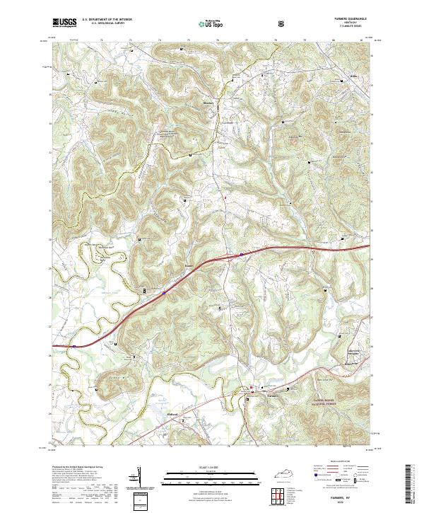
2022 Map of Farmers
USGS Topo · Published 2022About this map
The Licking River carves a winding path through this region, forming the dramatic loops of Muleshoe Bend, Horseshoe Bend, and Ingram Bend. This landscape is defined by the transition from the waterway's floodplains to the wooded ridges of the Daniel Boone National Forest. The settlement of Farmers sits near the confluence with Triplett Creek, serving as a focal point alongside the CSX rail line.
Find a feature on this map
156 named features on this map. Tap any name to fly to it.
Don’t see what you’re looking for? This feature index may not catch every label — zoom into the map to look around manually.
Map Details
Editions of this 2022 Farmers Map
This is the sole edition of this map. No revisions or reprints were ever made.
Other maps of this area

1929 · Morehead
USGS Topo · 1:48,000

1929 · Salt Lick
USGS Topo · 1:62,500

1934 · Salt Lick
USGS Topo · 1:62,500

1935 · Morehead
USGS Topo · 1:62,500

1951 · Cranston
USGS Topo · 1:24,000

1951 · Hillsboro
USGS Topo · 1:24,000

1951 · Plummers Landing
USGS Topo · 1:24,000

1953 · Olympia
USGS Topo · 1:24,000

1953 · Farmers
USGS Topo · 1:24,000

1953 · Bangor
USGS Topo · 1:24,000