
1952 Map of Farmington
USGS Topo · Published 1954About this map
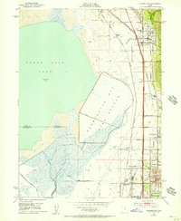
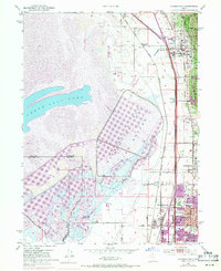
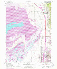
Farmington and Bountiful anchor this detailed study of the Davis County shoreline during the early 1950s. The landscape is defined by the sharp transition between the Wasatch National Forest to the east and the expansive Salt Flat and Great Salt Lake to the west. A complex transportation corridor is visible, featuring three distinct rail lines—the Union Pacific Railroad, the Bamberger Railroad, and the Denver and Rio Grande Western Railroad—running parallel through the narrow habitable strip between the mountains and the water.
Find a feature on this map
47 named features on this map. Tap any name to fly to it.
Don’t see what you’re looking for? This feature index may not catch every label — zoom into the map to look around manually.
Map Details
Editions of this 1952 Farmington Map
4 editions found
Other maps of this area

1885 · Salt Lake
USGS Topo · 1:250,000

1885 · Tooele Valley
USGS Topo · 1:250,000

1925 · Ft. Douglas
USGS Topo · 1:125,000

1928 · Ft. Douglas
USGS Topo · 1:125,000

1950 · Fort Douglas
USGS Topo · 1:24,000

1951 · Fort Douglas
USGS Topo · 1:24,000

1951 · Saltair
USGS Topo · 1:24,000

1951 · Salt Lake City North
USGS Topo · 1:24,000

1952 · Saltair NE
USGS Topo · 1:24,000

1952 · Bountiful Peak
USGS Topo · 1:24,000