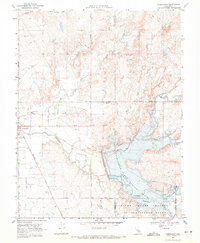
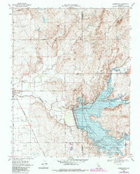
1968 Map of Farmington
USGS Topo · Published 1971About this map
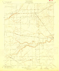
Farmington serves as the focal point of this late-1960s landscape, positioned where the Southern Pacific railroad meets Littlejohns Creek. The most striking geographical transformation is the Farmington Flood Control Basin, which dominates the eastern half of the map. This area, managed by the Farmington Dam, shows extensive zones of controlled inundation where the creek and its tributaries merge into the basin.
Find a feature on this map
30 named features on this map. Tap any name to fly to it.
Don’t see what you’re looking for? This feature index may not catch every label — zoom into the map to look around manually.
Map Details
Editions of this 1968 Farmington Map
2 editions found
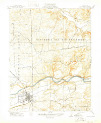
Other maps of this area

1889 · Jackson
USGS Topo · 1:125,000

1892 · Jackson
USGS Topo · 1:125,000

1894 · Lodi
USGS Topo · 1:125,000

1897 · Jackson
USGS Topo · 1:125,000

1902 · Jackson
USGS Topo · 1:125,000
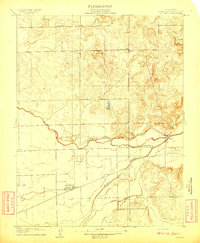
1908 · Linden
USGS Topo · 1:31,680

1914 · Avena
USGS Topo · 1:31,680
1915 · Oakdale
USGS Topo · 1:31,680

1915 · Trigo
USGS Topo · 1:31,680
1915 · Peters
USGS Topo · 1:31,680