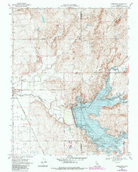
1968 Map of Farmington
USGS Topo · Published 1987About this map
Farmington sits at the intersection of a complex water management and transportation network in the San Joaquin Valley. This late-1960s landscape is dominated by the Farmington Flood Control Basin and the Farmington Dam, which regulate the flows of Littlejohns Creek, Hoods Creek, and Rock Creek. These riparian corridors cut through a grid of agricultural and boundary lines, including the historically significant Eight Square Leagues on the Stanislaus River. Transportation history is etched into the terrain via the Southern Pacific railroad and the Old Railroad Grade to the north. Local landmarks such as the Highland View Memorial Gardens and a small Cem near the town site offer specific points of interest for genealogists tracing family roots in this corner of the Central Valley.
Find a feature on this map
30 named features on this map. Tap any name to fly to it.
Don’t see what you’re looking for? This feature index may not catch every label — zoom into the map to look around manually.
Map Details
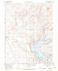
Editions of this 1968 Farmington Map
2 editions found
Other maps of this area

1889 · Jackson
USGS Topo · 1:125,000

1892 · Jackson
USGS Topo · 1:125,000

1894 · Lodi
USGS Topo · 1:125,000

1897 · Jackson
USGS Topo · 1:125,000

1902 · Jackson
USGS Topo · 1:125,000

1908 · Linden
USGS Topo · 1:31,680

1914 · Avena
USGS Topo · 1:31,680

1915 · Oakdale
USGS Topo · 1:31,680

1915 · Trigo
USGS Topo · 1:31,680

1915 · Peters
USGS Topo · 1:31,680