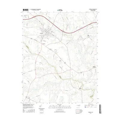
2016 Map of Farmville
USGS Topo · Published 2016About this map
Farmville stands as the primary hub in this mid-2010s survey, defined by a dense grid of streets such as N Pitt St and W Church St. The town's historical geography is anchored by substantial burial grounds like Forest Hills Cem and Hollywood Cem, while the surrounding coastal plain landscape is shaped by the meandering Little Contentnea Cr. Smaller outlying communities such as Marlboro, Bell Arthur, and Lizzie illustrate the region's traditional settlement pattern across the Pitt and Greene county line.
Find a feature on this map
91 named features on this map. Tap any name to fly to it.
Don’t see what you’re looking for? This feature index may not catch every label — zoom into the map to look around manually.
Map Details
Editions of this 2016 Farmville Map
This is the sole edition of this map. No revisions or reprints were ever made.
Other maps of this area

1902 · Ayden
USGS Topo · 1:62,500

1903 · Winterville
USGS Topo · 1:62,500

1904 · Ayden
USGS Topo · 1:62,500

1904 · Falkland
USGS Topo · 1:62,500

1905 · Winterville
USGS Topo · 1:62,500

1914 · Kinston
USGS Topo · 1:48,000

1916 · Kinston
USGS Topo · 1:62,500

1953 · Rocky Mount
USGS Topo · 1:250,000

1954 · Rocky Mount
USGS Topo · 1:250,000

1980 · Falkland
USGS Topo · 1:24,000