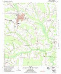
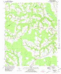
1981 Map of Farmville
USGS Topo · Published 1981About this map
Farmville serves as the focal point of this Eastern North Carolina landscape, where the Norfolk Southern railroad line cuts through a region defined by its transition from town center to expansive wetlands. The town's civic core is well-defined, featuring the Town Hall, Library, and Armory alongside educational institutions like Bundy Middle Sch and the local High Sch. To the south, the terrain descends into the distinctive Half Moon Pocosin, a specialized wetland environment fed by the meandering courses of Little Contentnea Creek and Middle Swamp.
Find a feature on this map
42 named features on this map. Tap any name to fly to it.
Don’t see what you’re looking for? This feature index may not catch every label — zoom into the map to look around manually.
Map Details
Editions of this 1981 Farmville Map
This is the sole edition of this map. No revisions or reprints were ever made.
Other maps of this area
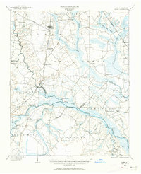
1902 · Ayden
USGS Topo · 1:62,500
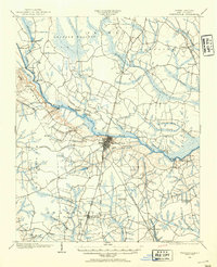
1903 · Winterville
USGS Topo · 1:62,500
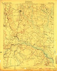
1904 · Ayden
USGS Topo · 1:62,500
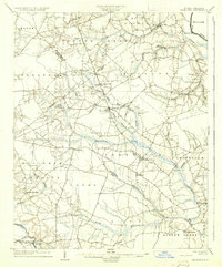
1904 · Falkland
USGS Topo · 1:62,500
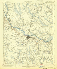
1905 · Winterville
USGS Topo · 1:62,500
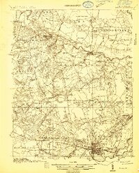
1914 · Kinston
USGS Topo · 1:48,000
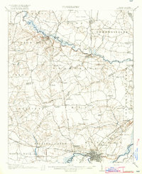
1916 · Kinston
USGS Topo · 1:62,500

1953 · Rocky Mount
USGS Topo · 1:250,000

1954 · Rocky Mount
USGS Topo · 1:250,000
1980 · Falkland
USGS Topo · 1:24,000