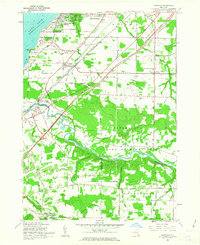
1960 Map of Farnham
USGS Topo · Published 1963About this map
The Lake Erie shoreline defines the western edge of this 1960 revision, where the Angola Lake Shore Addition and Lake Erie Beach sit just north of the expansive Evangola State Park. The interior landscape is heavily marked by the presence of the Cattaraugus Indian Reservation, which occupies a large swathe of land centered on the winding Cattaraugus Creek. This area illustrates a mid-century period of significant infrastructure development, most notably the path of the New York State Thruway (Erie Section) cutting through the rural townships of Brant and Hanover. Local life at this time is anchored by centers like Farnham, where St Anthonys Ch and Mt Zion Ch served the community, alongside numerous Gas Wells and Gravel Pits that point to the region's active natural resource extraction.
Find a feature on this map
64 named features on this map. Tap any name to fly to it.
Don’t see what you’re looking for? This feature index may not catch every label — zoom into the map to look around manually.
Map Details
Editions of this 1960 Farnham Map
2 editions found
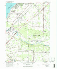
Other maps of this area

1899 · Silver Creek
USGS Topo · 1:62,500

1900 · Cherry Creek
USGS Topo · 1:62,500

1905 · Eden
USGS Topo · 1:62,500

1907 · Eden
USGS Topo · 1:62,500

1923 · Cattaraugus
USGS Topo · 1:62,500

1938 · Cattaraugus
USGS Topo · 1:62,500

1941 · Cattaraugus
USGS Topo · 1:62,500

1941 · Cherry Creek
USGS Topo · 1:62,500

1943 · Silver Creek
USGS Topo · 1:24,000

1944 · Eden
USGS Topo · 1:62,500