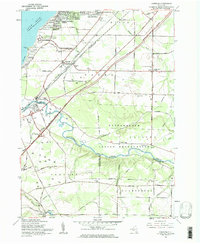
1960 Map of Farnham
USGS Topo · Published 1984About this map
Cattaraugus Indian Reservation defines much of the southern landscape on this 1960 map, where the winding Cattaraugus Creek serves as a natural boundary between Erie and Chautauqua counties. The era's transportation network is prominently displayed, showing the New York State Thruway cutting diagonally through the countryside, while older corridors like the New York Central and New York Chicago and St Louis railroads continue to serve the lakeside communities. Along the Lake Erie shoreline, residential growth is evident in the Angola Lake Shore Addition and Lake Erie Beach, contrasting with the preserved shoreline of Evangola State Park. Inland, the map documents the rural infrastructure of the mid-century, including the Pleasant Valley Ch and United Mission, alongside legacy educational landmarks like District No 1 Sch and District No 2 Sch.
Find a feature on this map
66 named features on this map. Tap any name to fly to it.
Don’t see what you’re looking for? This feature index may not catch every label — zoom into the map to look around manually.
Map Details
Editions of this 1960 Farnham Map
2 editions found
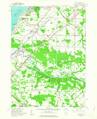
Other maps of this area

1899 · Silver Creek
USGS Topo · 1:62,500

1900 · Cherry Creek
USGS Topo · 1:62,500

1905 · Eden
USGS Topo · 1:62,500

1907 · Eden
USGS Topo · 1:62,500

1923 · Cattaraugus
USGS Topo · 1:62,500

1938 · Cattaraugus
USGS Topo · 1:62,500

1941 · Cattaraugus
USGS Topo · 1:62,500

1941 · Cherry Creek
USGS Topo · 1:62,500

1943 · Silver Creek
USGS Topo · 1:24,000

1944 · Eden
USGS Topo · 1:62,500