
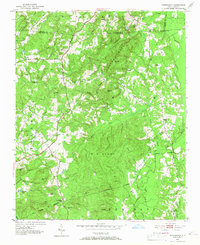
1951 Map of Farrington
USGS Topo · Published 1952About this map
The rolling hills of Chatham County are defined by the Edwards Mountain ridge and the steady flow of the New Hope River before the regional landscape was significantly altered by mid-century development. This 1951 study captures a rural network of small family-centered communities and religious landmarks, including Manns Chapel and Mt Zion Ch, connected by early thoroughfares like the Davis Jefferson Highway and Lystra Road.
Find a feature on this map
54 named features on this map. Tap any name to fly to it.
Don’t see what you’re looking for? This feature index may not catch every label — zoom into the map to look around manually.
Map Details
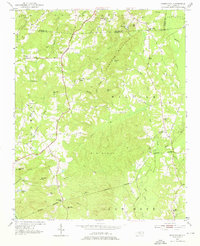
Editions of this 1951 Farrington Map
3 editions found
Other maps of this area

1943 · Durham South
USGS Topo · 1:62,500

1946 · Chapel Hill
USGS Topo · 1:24,000

1947 · Chapel Hill
USGS Topo · 1:31,680

1951 · Durham South
USGS Topo · 1:62,500

1953 · Raleigh
USGS Topo · 1:250,000

1954 · Raleigh
USGS Topo · 1:250,000

1968 · White Cross
USGS Topo · 1:24,000

1968 · Bynum
USGS Topo · 1:24,000

1969 · New Hope Dam
USGS Topo · 1:24,000

1970 · Pittsboro
USGS Topo · 1:24,000