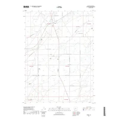
2017 Map of Farson
USGS Topo · Published 2017About this map
Farson and Eden anchor this high-desert landscape in Sweetwater County, where the agricultural community of Eden Valley relies on the waters of the Big Sandy River and Little Sandy Cr. The map reveals a intersection of historical and modern transit, featuring the namesake Green River-South Pass Stage Rd and the descriptive Freight Wagon Rd, both echoing the area's role as a waypoint for early Western travel. For those researching local pioneers and family history, the Eden Valley Cem and the individual Charles Hatch Gravesite are significant local landmarks. The terrain is further defined by several prominent erosional features, including Carlson Draw, Bone Draw, and Washington Draw, which segment the cattle and farming country north of the Rock Springs area.
Find a feature on this map
41 named features on this map. Tap any name to fly to it.
Don’t see what you’re looking for? This feature index may not catch every label — zoom into the map to look around manually.
Map Details
Editions of this 2017 Farson Map
This is the sole edition of this map. No revisions or reprints were ever made.
Other maps of this area

1954 · Rock Springs
USGS Topo · 1:250,000

1955 · Lander
USGS Topo · 1:250,000

1958 · Lander
USGS Topo · 1:250,000

1958 · Rock Springs
USGS Topo · 1:250,000

1961 · Lander
USGS Topo · 1:250,000

1962 · Rock Springs
USGS Topo · 1:250,000

1963 · Pittman Well
USGS Topo · 1:24,000

1968 · Farson
USGS Topo · 1:24,000

1968 · Eden Reservoir East
USGS Topo · 1:24,000

1968 · Clay Buttes
USGS Topo · 1:24,000