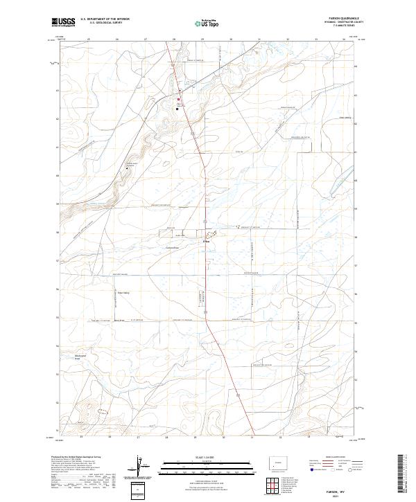
2021 Map of Farson
USGS Topo · Published 2021About this map
Eden and the surrounding Eden Valley are defined by an intricate network of irrigation and historic transit routes in this high-desert portion of Sweetwater County. The map documents the vital importance of water management to the area's agricultural settlement, tracing the Big Sandy River and Little Sandy Cr as they feed the Eden Canal and the extensive Eden Lateral system. These waterways support the rectilinear grid of ranch roads and homesteads that characterize the valley. For those tracing local heritage, the Eden Valley Cem and the specific Charles Hatch Gravesite provide clear genealogical anchor points. The landscape is also etched with the paths of earlier eras, including the Green River-South Pass Stage Rd and the Freight Wagon Rd, reflecting the region's long-standing role as a corridor for westward migration and commerce.
Find a feature on this map
42 named features on this map. Tap any name to fly to it.
Don’t see what you’re looking for? This feature index may not catch every label — zoom into the map to look around manually.
Map Details
Editions of this 2021 Farson Map
This is the sole edition of this map. No revisions or reprints were ever made.
Other maps of this area

1954 · Rock Springs
USGS Topo · 1:250,000

1955 · Lander
USGS Topo · 1:250,000

1958 · Lander
USGS Topo · 1:250,000

1958 · Rock Springs
USGS Topo · 1:250,000

1961 · Lander
USGS Topo · 1:250,000

1962 · Rock Springs
USGS Topo · 1:250,000

1963 · Pittman Well
USGS Topo · 1:24,000

1968 · Farson
USGS Topo · 1:24,000

1968 · Eden Reservoir East
USGS Topo · 1:24,000

1968 · Clay Buttes
USGS Topo · 1:24,000