
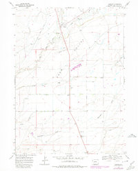
1968 Map of Farson
USGS Topo · Published 1971About this map
The Eden Valley landscape in the late 1960s was defined by a critical intersection of water management and western history. This arid region relied heavily on an intricate network of irrigation, including the Eden Canal, Eden Lateral, and Hay Lateral, which diverted water to sustain the small settlements of Farson and Eden. The presence of the Lower Emigrant Farson Cutoff Trail crossing the north side of the sheet underscores the area's deep roots as a thoroughfare for early western travelers.
Find a feature on this map
24 named features on this map. Tap any name to fly to it.
Don’t see what you’re looking for? This feature index may not catch every label — zoom into the map to look around manually.
Map Details
Editions of this 1968 Farson Map
2 editions found
Other maps of this area

1954 · Rock Springs
USGS Topo · 1:250,000

1955 · Lander
USGS Topo · 1:250,000

1958 · Lander
USGS Topo · 1:250,000

1958 · Rock Springs
USGS Topo · 1:250,000

1961 · Lander
USGS Topo · 1:250,000

1962 · Rock Springs
USGS Topo · 1:250,000

1963 · Pittman Well
USGS Topo · 1:24,000

1968 · Eden Reservoir East
USGS Topo · 1:24,000

1968 · Clay Buttes
USGS Topo · 1:24,000

1968 · White Rocks
USGS Topo · 1:24,000