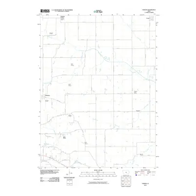
2010 Map of Farson
USGS Topo · Published 2010About this map
Highland Center and Farson anchor the northern reaches of this rural landscape, which is defined by a dense network of family cemeteries and local institutions. The area surrounding Dahlonega showcases a typical Iowa township layout, where sections are divided by roads like Angle Rd and Old Agency Rd. Educational history is preserved through the locations of the Highland School and Pleasant Grove School, while numerous burial grounds, including the McCormick Cemetery, Kitterman Cemetery, and Round Point Cemetery, provide critical data points for genealogical research. The terrain is drained by several waterways, most notably Cedar Creek and Little Cedar Creek, which carve winding paths through the agricultural grid. To the southwest, Loch Burns serves as a distinct landmark in a region primarily dedicated to farming and small rural settlements.
Find a feature on this map
40 named features on this map. Tap any name to fly to it.
Don’t see what you’re looking for? This feature index may not catch every label — zoom into the map to look around manually.
Map Details
Editions of this 2010 Farson Map
This is the sole edition of this map. No revisions or reprints were ever made.
Other maps of this area

1954 · Centerville
USGS Topo · 1:250,000

1954 · Des Moines
USGS Topo · 1:250,000

1956 · Des Moines
USGS Topo · 1:250,000

1956 · Farson
USGS Topo · 1:24,000

1956 · Agency
USGS Topo · 1:24,000

1956 · Ottumwa North
USGS Topo · 1:62,500

1956 · Ottumwa South
USGS Topo · 1:24,000

1956 · Ottumwa South
USGS Topo · 1:62,500

1956 · Ottumwa North
USGS Topo · 1:24,000

1957 · Des Moines
USGS Topo · 1:250,000