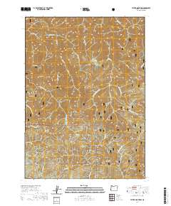
2020 Map of Father Mountain
USGS Topo · Published 2020About this map
Elk Wild and Scenic River carves a winding path through the heart of the Siskiyou National Forest, serving as the primary drainage for a complex network of tributaries including Sunshine Creek, State Creek, and Platinum Creek. This 2020 survey reveals a landscape defined by prominent peaks and ridges, from Father Mountain at the center to Pearse Peak and Purple Mountain in the northwest. To the south, the terrain rises toward Rocky Peak and Chismore Butte. While largely primitive, the map documents limited human imprints such as Highlands Drive and the water source at Salal Spring. The drainage patterns of Euchre Creek and the various forks of Panther Creek illustrate the high-relief topography of this portion of Curry County.
Find a feature on this map
41 named features on this map. Tap any name to fly to it.
Don’t see what you’re looking for? This feature index may not catch every label — zoom into the map to look around manually.
Map Details
Editions of this 2020 Father Mountain Map
This is the sole edition of this map. No revisions or reprints were ever made.
Other maps of this area

1899 · Port Orford
USGS Topo · 1:125,000

1903 · Port Orford
USGS Topo · 1:125,000

1954 · Coos Bay
USGS Topo · 1:250,000

1954 · Port Orford
USGS Topo · 1:62,500

1954 · Agness
USGS Topo · 1:62,500

1954 · Powers
USGS Topo · 1:62,500

1954 · Langlois
USGS Topo · 1:62,500

1958 · Coos Bay
USGS Topo · 1:250,000

1962 · Coos Bay
USGS Topo · 1:250,000
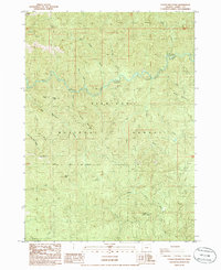
1986 · Father Mountain
USGS Topo · 1:24,000