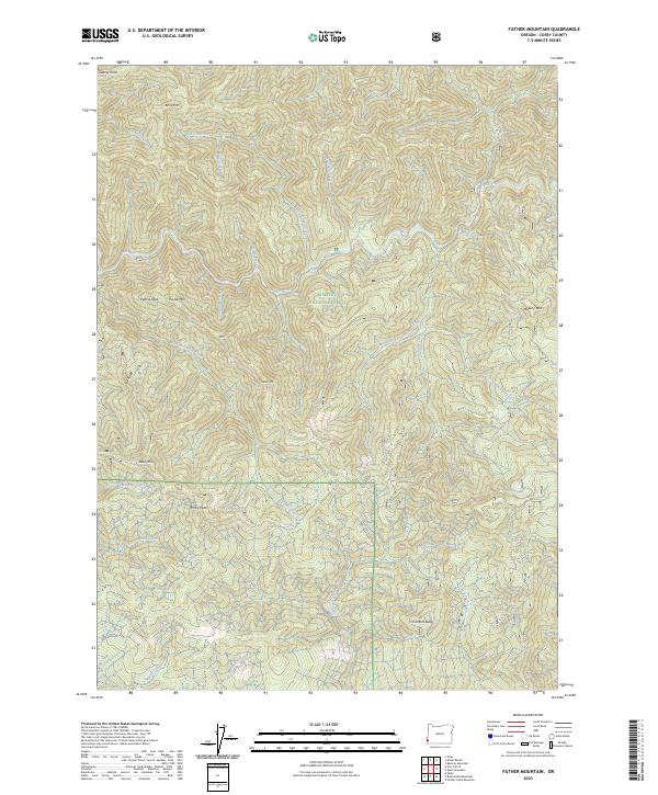
2023 Map of Father Mountain
USGS Topo · Published 2023About this map
The Siskiyou National Forest dominates this coastal range landscape in Curry County, where the Elk Wild and Scenic River carves a deep path through the protected terrain. The topography is defined by high ridgelines and isolated summits, including Father Mountain and Chismore Butte, while the Grassy Knob Wilderness and Copper Salmon Wilderness provide extensive undeveloped preserves. A dense network of drainage systems, such as Anvil Creek and Panther Creek, illustrates the complex watershed that feeds the region's primary rivers. The map's layout of townships and ranges, including t33s r14w, underscores the vastness of these public lands. This 2023 edition provides an intricate look at the land's physical contours, from Pearse Peak to the winding course of Mussel Creek in the south.
Find a feature on this map
41 named features on this map. Tap any name to fly to it.
Don’t see what you’re looking for? This feature index may not catch every label — zoom into the map to look around manually.
Map Details
Editions of this 2023 Father Mountain Map
This is the sole edition of this map. No revisions or reprints were ever made.
Other maps of this area

1899 · Port Orford
USGS Topo · 1:125,000

1903 · Port Orford
USGS Topo · 1:125,000

1954 · Coos Bay
USGS Topo · 1:250,000

1954 · Port Orford
USGS Topo · 1:62,500

1954 · Agness
USGS Topo · 1:62,500

1954 · Powers
USGS Topo · 1:62,500

1954 · Langlois
USGS Topo · 1:62,500

1958 · Coos Bay
USGS Topo · 1:250,000

1962 · Coos Bay
USGS Topo · 1:250,000
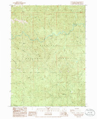
1986 · Father Mountain
USGS Topo · 1:24,000