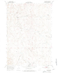
1953 Map of Fats Draw
USGS Topo · Published 1976About this map
Pumpkin Creek and its many prongs carve a complex drainage system through this high-plains landscape in Campbell County. The map reveals a mid-century ranching economy defined by isolated outposts such as Wormwood Ranch and Saunders Ranch. Of particular interest to local historians is the Gilkie Ranch (Aban'd), which is already marked as abandoned by the time of this early 1950s survey.
Find a feature on this map
14 named features on this map. Tap any name to fly to it.
Don’t see what you’re looking for? This feature index may not catch every label — zoom into the map to look around manually.
Map Details
Editions of this 1953 Fats Draw Map
2 editions found
Other maps of this area

1953 · Fort Reno SE
USGS Topo · 1:24,000

1953 · Savageton
USGS Topo · 1:24,000

1953 · Fats Draw
USGS Topo · 1:24,000

1953 · The Nipple
USGS Topo · 1:24,000

1953 · North Butte
USGS Topo · 1:24,000

1954 · Gillette
USGS Topo · 1:250,000

1955 · Newcastle
USGS Topo · 1:250,000

1955 · Sheridan
USGS Topo · 1:250,000

1955 · Arminto
USGS Topo · 1:250,000

1955 · Gillette
USGS Topo · 1:250,000