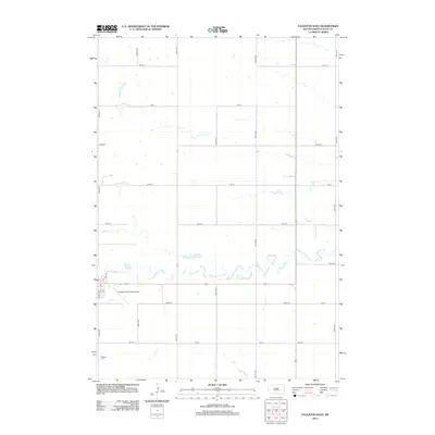
2012 Map of Faulkton East
USGS Topo · Published 2012About this map
S Fork Snake Cr meanders eastward through the central plains of Faulk County, South Dakota, defining the primary drainage pattern of this agricultural landscape. The township structure is strictly organized around a grid of rural avenues and streets, such as 157th St and 356th Ave, which facilitate movement between scattered farmsteads and regional hubs. On the southwestern edge of the quadrangle, the infrastructure of the county seat begins to appear, anchored by the Faulkton Municipal Airport and the local Po. This 2012 survey illustrates the intersection of small-town development and sprawling prairie, where the Faulkton Cem sits at the southern periphery. The map captures the area's reliance on established section lines and watercourses, reflecting a long-standing commitment to the region's ranching and farming heritage.
Find a feature on this map
24 named features on this map. Tap any name to fly to it.
Don’t see what you’re looking for? This feature index may not catch every label — zoom into the map to look around manually.
Map Details
Editions of this 2012 Faulkton East Map
This is the sole edition of this map. No revisions or reprints were ever made.
Other maps of this area

1899 · Northville
USGS Topo · 1:125,000

1899 · Redfield
USGS Topo · 1:125,000

1951 · Orient
USGS Topo · 1:24,000

1951 · Orient NW
USGS Topo · 1:24,000

1952 · Norbeck
USGS Topo · 1:24,000

1952 · Wecota
USGS Topo · 1:24,000

1952 · Faulkton West
USGS Topo · 1:24,000

1952 · Faulkton East
USGS Topo · 1:24,000

1953 · Huron
USGS Topo · 1:250,000

1954 · Aberdeen
USGS Topo · 1:250,000